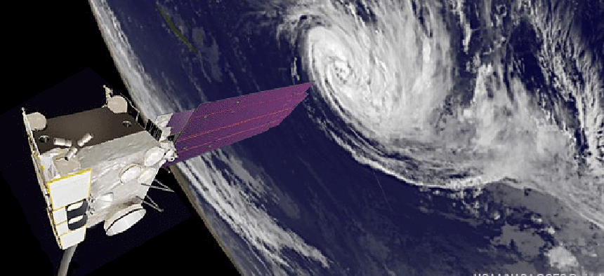
NOAA works satellite triage to keep hurricane tracking healthy


Connecting state and local government leaders
The National Oceanic and Atmospheric Administration activates back-up satellite to keep storm spotlight steady as hurricane season nears.
June marks the beginning of what is expected to be an active U.S. hurricane season, coming up just as the weather research community is switching out some of its most sophisticated storm tracking tech.
Yet some of its most recent technology changes have been more reactive than planned. Just last week, the National Oceanic and Atmospheric Administration’s Geostationary Operational Environmental Satellite 13 failed for the second time in two years, forcing the weather agency into triage mode.
Imaging technology aboard GOES-13, NOAA’s main weather eye in the sky of the eastern United States went out, according to reports that said NOAA engineers were working on repairing the GOES-13 imager with software updates.
The GOES system has four satellites — numbers 12 through 15 — in orbit to support U.S. forecasting, storm tracking and weather research.
GOES 13 was temporarily backed up by NOAA’s GOES-15, which covers the western United States, but GOES-15 was a less than stellar understudy, according to the website Satellite Today, sending back images that were distorted.
So NOAA went to work activating GOES-14 to assist covering the eastern part of the country. GOES-14 had been switched on in September 2012 after a GOES-13 was hit with a similar problem.
As of May 28, NOAA was reporting that that GOES-14 is providing GOES-East coverage. Otherwise, GOES-13 will “remain in storage mode while the anomaly is being investigated ... there is no estimate on return to operations at this time,” NOAA said.
Alex Sosnowski, a senior meteorologist with AccuWeather.com, wrote in his blog that if NOAA, “fails to repair GOES-13, there is an important concern of what could happen if GOES-14 were to fail.”
“The options would be very limited, possibly extending to foreign satellite coverage,” he wrote.
With seasonal weather patterns under the watchful if not fully operational watch of NOAA’s satellite systems, the agency also plans to activate new supercomputing technology capable of improving forecasting by 10 percent or more, according to a report in Network World. The new supercomputer will run an upgraded Hurricane Weather Research and Forecasting (HWRF) model that will help researchers better forecast the scale of a storm by examining the hurricane’s structure.
NOAA also plans to add Doppler radar to its Hurricane Hunter aircraft. Doppler will help meteorologists see the rain bands within a storm system and put that data into their weather models, improving the ability to forecast storms’ track and intensity, according to the EarthSky website.
NEXT STORY: 30-year showdown: IBM PC vs. Apple iPhone


