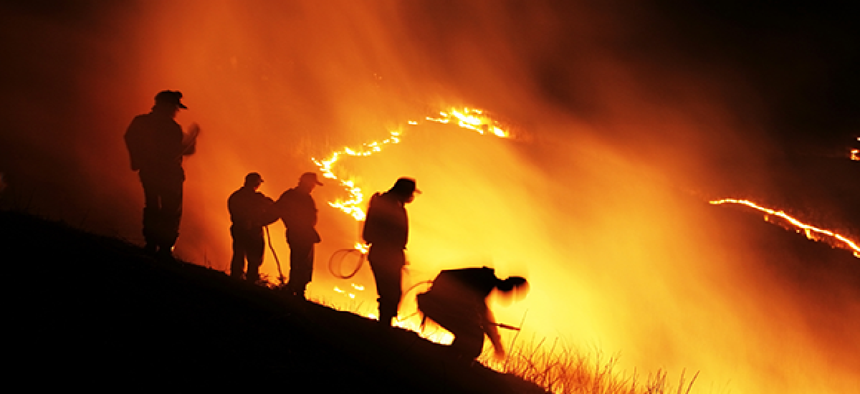
One way to get real-time info to crews fighting wildfires


Connecting state and local government leaders
The Forest Service is trying new technologies to help improve information sharing− and safety − for firefighters. Don’t overlook satellite phones.
The deaths of 19 firefighters last month in Arizona were a tragic reminder that trying to save lives on the front lines of a wildfire can be one of the most dangerous jobs on the planet. I don't think anyone would argue that the heroes who perform this vital function deserve less than the best and most advanced technology that we as a nation can afford.
The U.S. Forest Service works hard to make that job as safe as possible. They run thousands of forest fire simulations, recording how blazes travel and in what conditions to try and make sure those with boots on the ground deploy in a safe location. In the Arizona fire, the wind apparently shifted so quickly that there was little time to react. However, the New York Times reported using better technology could give future firefighters more of warning about shifting conditions.
The technology in use right now is a bit of a mix of the advanced and the primitive. For example, military predator drones sometimes are deployed at night to take thermal readings of approaching fires and map them out. But those maps are not given to fire crews until the next morning, and not fully updated again until the following day. Only visual reports change the maps during the day, so that by the afternoon, the entire situation could have easily changed from what the morning plan shows.
A perfect solution might be to send information in real time to mobile devices held by firefighters, whether from addition drones flown during the day or from weather satellites, as even a standard iPhone could render the map data.
But Laura L. Hill, an information technology strategic planner for the Forest Service, told the Times that the problem with that plan is that the fires are often in remote areas without cell towers, or in places where the towers have been destroyed by the flames.
Sometimes the Forest Service erects temporary towers or sets up microwave links with local providers to give firefighters needed communications in the field. But those take time to create and are not always reliable.
I have another suggestion. I'm no expert on firefighting, but I've traveled into many dead zones to test phones, including deep into the Mojave Desert. So I can tell you first-hand when a bag full of cell phones on most normal networks can't even sniff out a signal, satellite phones can pick up the slack, getting full signal bars from literally the middle of nowhere. For the most part, a signal only requires line of site to the sky, something firefighters almost always can find.
Even today, satellite phones are bigger than typical cell phones by about half, but the last one I reviewed was fairly sleek, and able to receive data up to 20 kilobytes/sec. Satellite phones aren’t cheap — the Inmarsat IsatPhone Pro, for example, costs $599 plus monthly fees — but I think that hero firefighters deserve them. If nothing else, perhaps one could be given to the leader of each squad so that the state of the fire could be constantly monitored. There are even rugged models that could handle the harsh conditions.
That may not be the only solution to the problem, but if sending data to firefighters anywhere is an issue, then a satellite phone would fix that when nothing else is available. I think we would all agree that the extra money would be well spent when lives are at stake.


