The serious side of GPS, where timing is everything


Connecting state and local government leaders
Although most widely known as a feature in consumer products, GPS timing and positioning is used in much of the nation's critical infrastructure, from managing air traffic to time-stamping financial transactions.
Since full public availability of GPS signals began in 2000, the Defense Department’s Global Positioning System has become a staple feature in consumer devices from stand-alone personal navigation systems to smartphones, helping us to find our way (and allowing advertisers to find their way to us).
Despite its commercial success, GPS never was conceived as a consumer service. “Major communications networks, banking systems, financial markets and power grids depend heavily on GPS for precise time synchronization,” according to the National Coordination Office for Space-Based Positioning, Navigation, and Timing. “Some wireless services cannot operate without it,” and “nearly all new military assets — from vehicles to munitions — come equipped with GPS.”
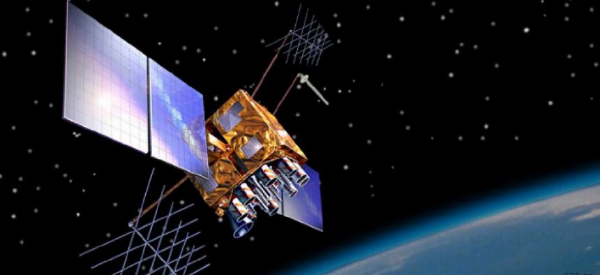
The first experimental satellites for the space-based system were launched in 1978, and GPS became fully operational in 1995. Today, the Air Force operates the space and ground control segments, maintaining a constellation of satellites in medium Earth orbit to ensure availability of at least 24 satellites 95 percent of the time. The current constellation consists of 31 operational satellites, along with three or four decommissioned satellites that can be reactivated if needed.
The satellites provide precise signals that can be used to calculate a receiver’s position, but they also are critical to functions that require precise timing. Although there are alternatives to GPS timing, such as in-house atomic clocks, they are not as widely and freely available as GPS signals. The Government Accountability Office, in a review of the nation’s preparedness to manage the risk of GPS disruption, identified some of the uses of the system in the critical infrastructure.
The communications sector uses the GPS timing function to synchronize call handoffs in wireless communications.
The energy sector’s bulk power system uses GPS timing to provide status measurements at frequent points in time.
The financial services sector uses GPS timing to timestamp financial transactions, match trading orders and synchronize financial computer systems.
The transportation systems sector uses GPS for safe and efficient operations. Aircraft use GPS for en-route navigation and landings; the maritime industry uses it for navigation and as a safety and situational tool in high-traffic ports; commercial vehicles use it for positioning, navigation and fleet management; and rail systems use it for asset management, tracking and positive train control, which supports collision avoidance.
GAO’s conclusion was that government and industry are not prepared to handle a disruption in GPS service.
GPS is not the only kid on the block. The Russian Glonass, which was rebuilt after falling into disrepair after the fall of the Soviet Union, currently is the only other such system offering global coverage, and is only slightly less accurate than GPS. Some commercial receivers can use both GPS and Glonass.
The European Union is building Galileo, a civilian alternative to GPS, which is now in a testing phase and is expected reach a full complement of 30 satellites by 2019. The Chinese Compass system is in limited operation and is expected reach global operational capacity by 2020. Regional satellite navigation systems are under development in India and Japan.


