SAP, Esri offering a unified view for data, geospatial analysis

SAP business intelligence and mobile platforms will integrate with Esri ArcGIS.
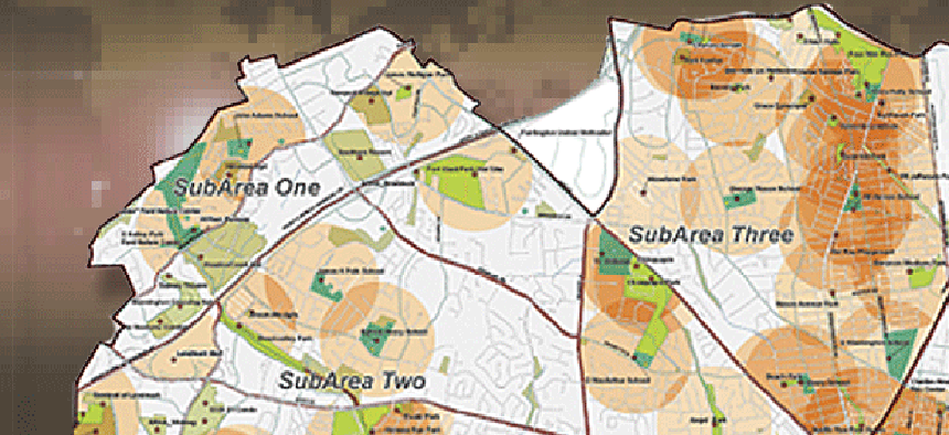
The worlds of data analytics and geospatial analysis continue to merge, with firms offering agencies a unified platform to analyze large volumes of text, transactional and spatial data.
SAP AG and SAP National Security Services, the company’s U.S. subsidiary, have joined with geospatial software firm Esri to offer real-time spatial data analysis to government agencies. SAP’s HANA, BusinessObjects Business Intelligence and Mobile Platform will integrate with the Esri ArcGIS, according to SAP.
SAP plans to expand SAP HANA with spatial data processing capabilities that combine location data with enterprise data, SAP officials said. This will allow ArcGIS users to push spatial processing to SAP HANA, an in-memory database with modeling tools for analysis of big data.
The goal is for SAP users and independent software vendors to consume, process and analyze spatial, transactional and text data within one unified platform.
Analysts also will be able to visualize geographic information in maps, graphs and charts using tools from the SAP BusinessObjects portfolio. SAP’s BusinessObjects BI suite and SAP applications share a common HTML5 visualization platform and software development kit. The SDK will be linked with Esri ArcGIS via application programming interfaces, giving organizations the ability to extend visualizations with 50 pre-built chart types, geographic maps and advanced visualizations.
Workers in the field will now have the ability to process geospatial and business data on their mobile devices via an integration between the SDK for SAP Mobile Platform and Esri ArcGIS. SAP Mobile Platform will make it possible for users to manipulate interactive maps and to obtain detailed information on a geographic region.
Also, by tying into SAP Business Suite, mobile apps like SAP Work Manager and SAP CRM Service Manager will combine business information such as work orders, parts inventory levels and historical asset information with geospatial data to give mobile users a multi-system work environment, SAP officials said.
Other companies also are making it easier for organizations to combine text, transactional and geospatial data to improve decision making.
At a recent Microsoft public sector forum, Ted Malone, federal platform specialist for Microsoft, demonstrated how the Excel spreadsheet application along with add-ons such as PowerPivot and GeoFlow could be used to gather data from many different sources and combine it with geo location and other mapping features to deliver timely information to emergency response teams.
Malone drew a scenario, for example, of how weather forecast information about potential rainfall in low-lying coastal areas during Hurricane Sandy — which affected the entire U.S. eastern seaboard in October 2012 — could be combined with demographic census data and used to evacuate elderly people (70 years and older) from those lying-lowing areas in the path of the storm.


