Digital mapping reaches the Last Frontier


Connecting state and local government leaders
USGS and Alaska spearhead an effort to digitally remap topographical features of the state to benefit transportation planning, climate change science and emergency response.
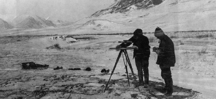
The U.S. Geological Survey has unwrapped 400 new digital topographical maps of the state of Alaska, the first of what is expected to be more than 11,000 new maps updating geospatial baselines and replacing maps that in some cases are 50 years old.
The state’s unique geophysical profile, including a challenging terrain, remote locations and a harsh climate, made mapping difficult. Prior to this effort, topographical maps for much of Alaska were about 50 years out of date and not produced to current standards, which rely largely on high-resolution digital imagery and elevation data.
The project is being spearheaded by USGS’s Alaska Mapping Initiative, a joint venture of the agency and state mapmakers to publish a complete series of digital PDF maps at a scale of 1:25,000. New satellite image layers show the latest surface views, Trans-Alaska oil pipeline data, public land survey system data and updated glacier floes.
Without the updated digital features in maps of much of the state, “essential public services have suffered,” in the areas of transportation planning, regional planning, economic development and scientific research, USGS said.
"The associated advances in human safety, navigation and natural resource management cannot be overestimated,” said Anne Castle, the Interior Department’s assistant secretary for water and science. She praised the partnership between USGS and the state for “elevating our visual record of our state to 21st century levels.”
To ensure that they meet current accuracy specifications and standards, the maps will be made using newly acquired elevation and imagery data from multiple state, federal and commercial sources.
The mapmaking will also be automated using software adapted by USGS to create approximately 11,275 digital map quadrangles, covering the entire area of the state. Ultimately, the federal and state project teams want to build a new statewide base map that would be available over the Internet, based on open standards and free of charge.
Dividends from the effort include more accurate elevation and hydrography data to help map climate change, enhanced aviation safety and streamlined disaster preparedness and response, according to USGS. "I can't think of one thing that it doesn't affect," Nick Mastrodicasa, state digital mapping project manager with the Department of Transportation, told the Alaska Daily News.


