Juniper app works to correct GPS errors

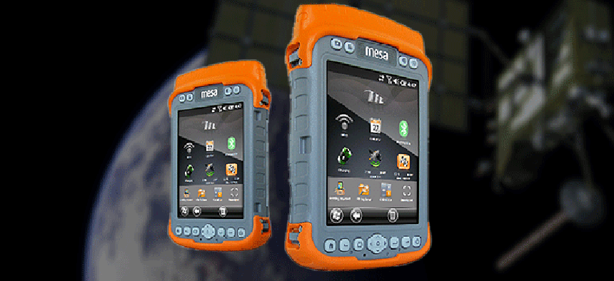
The app, which works with the company's Mesa Geo rugged notepad, takes into account a user's mode of transportation in considering the accuracy of signals.
Government workers who frequently use GPS applications know both their strengths and limitations. While the system is accurate down to about two or three meters, sometimes that isn't good enough. And when natural or manmade structures skew the signal, readings can tend to drift off course even more.
Juniper Systems, which makes rugged GPS devices aimed at the professional and government markets, has created a free Global Navigation Satellite System app that works with its rugged Mesa Geo notepad to analyze and compensate for most GPS errors.
"Large trees or buildings can change the signal" of most GPS devices, said Katelyn Heiner, a marketing specialist for Juniper. When the device tries to compensate for changing signals, that can lead to errors, she said.
The Juniper app lets users tell their devices what kind of activity they are performing, which prompts the GPS receiver to try and figure out the user’s actual position when a signal is corrupted by objects. One setting, for example, works best for people who are walking with their devices – the system will assume a very low acceleration, so it won't indicate that people are farther away from the last known location than they could reasonably walk. Another mode is for use in a vehicle, which can use some dead reckoning technology to estimate positions that might be quite a distance horizontally from where the user started out, but probably about the same spot vertically. There is even an At Sea mode that assumes no vertical change in position, but which allows for quite a lot of horizontal movement.
Probably one of the most useful modes introduced by the app is called Static Hold. Users would choose this setting when they are planning to stand still for a long period of time, or if the device itself is placed in one spot. It sets the navigation algorithm's velocity to zero along both the horizontal and vertical axis, and it will remain stable until evidence of movement is detected.
Natural resources marketing manager Trevor Brown helped create the app for Juniper and tested it extensively in the field. "Juniper does a lot of work creating hardware that minimizes noise and allows users to get a better signal," he said. "What we've done with this app is to also let the software help make things more accurate."
Brown said that using a GPS is a dynamic process, in which up to eight satellites can be sending data to receivers. Interpreting all those signals is what makes a GPS device accurate to within, say, two meters or four meters. But when a signal bounces off trees or has to pass through buildings, it can become slightly corrupted, and the device can misinterpret its location.
"Where this actually becomes important is when people are using a GPS in a non-optimized environment," he said, which is anything other than a totally open sky. "What the software does is to eliminate outliers it gets in the data based on what users are doing. So if they are just walking with their device and a signal comes in that's 12 meters away from the others, it will discount that when it estimates its position."
Juniper explains all the new modes and algorithms in an extensive paper.
Improving GPS signals is goal of anyone who needs precise location information. That often means following common-sense practices and learning how to properly set up and use a device. Juniper’s app takes refining the process a step further.
NEXT STORY: Do shutdown rules threaten your phone's data?


