EPA to open its ArcGIS data to the public

Esri is allowing its government customers to release data stored on its ArcGIS platform to the public.
International mapping software supplier Esri has announced a new policy regarding open data, allowing its government customers around the United States to release data stored on its ArcGIS platform to the public. With the company’s cloud server open to the public, federal, state and local agencies have the option of allowing the public to view the geospatial data they use to make decisions.
The Environmental Protection Agency will be the first Esri user to take advantage of the new feature. Harvey Simon, the agency’s geographic information officer emphasized how important open data is to the EPA at Esri’s Federal GIS Conference on Monday.
“Publishing data is part of EPA’s core,” Simon said.
“EPA open data provides citizens with data without changing the agency’s workflow,” he added.
The EPA launched its GeoPlatform in May 2012 to serve as the agency’s infrastructure for coordinating geospatial activities, applications and data across the agency, according to the Esri website. The agency has now combined the GeoPlatform with ArcGIS open data to make it more available, accessible and discoverable for the public in a timely manner.
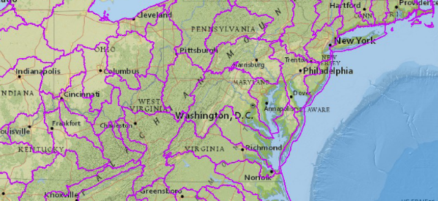
Esri demonstrated the new feature at the conference, in which it simulated a toxic substance released into a population’s drinking water. The open data on ArcGIS would let the public inspect and filter information in certain tables on the maps. For example, a user could filter the map to locate populations dependent on streams as their sole source for drinking water. This particular filter would highlight vulnerable populations.
The software will be available through a number of platforms in addition to ArcGIS Web maps. It can also be accessed through mobile phone libraries and applications, desktop extensions and big data analytics tools, according to a blog post by Esri’s chief technology officer Andrew Turner.
Turner announced at the conference that ArcGIS open data will be available in the spring of 2014.
NEXT STORY: Walter Reed launches mass communication system


