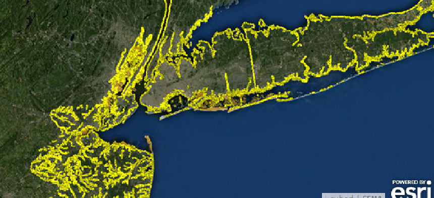
Esri equips cities with climate change tools, analytics

The geospatial mapping software supplier launches a multifaceted program to support the White House’s Climate Data Initiative.
Mapping software developer Esri is readying a series of maps, mobile applications and collaboration tools featuring highly localized climate data for 12 cities. The technology is designed to help citizens and policymakers develop applications to make their communities more resilient to climate change.
Esri’s initial efforts will focus on New Orleans, Wake County, N.C., and Tamarac, Fla. “We felt it was important to establish this collaborative network of individuals and organizations who use GIS to come together to combat the impacts of climate change," Esri president Jack Dangermond said in announcing the effort
“As governments, businesses, innovators, and citizens work toward this common goal, both a knowledge base and real-world tools will be created that people around the globe can use to build more resilient communities,” he added.
Esri’s plan comes in response to a White House announcement regarding the launch of the Climate Data Initiative as part of President Obama’s Climate Action Plan.
A White House blog post describes the initiative as, “an ambitious new effort bringing together extensive open government data and design competitions with commitments from the private and philanthropic sectors to develop data-driven planning and resilience tools for local communities.”
As part of the White House plan, the Department of Defense, the U.S. Geological Survey, the National Oceanic and Atmospheric Administration and NASA will feature data on climate.data.gov, a new section of data.gov that opened last week.
Esri also launched a climate-focused “geo-collaboration portal” as part of the climate change effort. The firm described it as a “place where citizens and professionals can go online to discover, contribute, and share resources critical to confronting the impacts of climate change.”
Both the local government project and collaboration portal complement the Esri Climate Resilience App Challenge, which the company launched at its recent developer’s conference.
In addition, Esri has partnered with a number of organizations with the common goal of solving climate change problems. Among its partners are International City/County Management Association, the American Public Works Association the International Association of Fire Chiefs and National Association of County and City Health Officials.
Esri said the projects in total are intended to “inspire developers to focus their creative attention on making maps and analytical tools that help communities see, understand and prepare for climate risks.”


