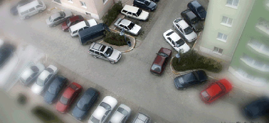
How parking data drives urban planning

Built with open-source software, MapServer and Google Maps API, the King County Multi-Family Residential Parking Calculator allows users to view neighborhood parking data.
This post was changed April 23 to correct Daniel Rowe's name.
The relationship between population density, parking spaces and public transit availability is a critical one for planners, developers and, yes, apartment hunters.
Thanks to a $1.2 million grant from the Federal Highway Administration, residents and city planners in King County, Wash., can access that data on a neighborhood-by-neighborhood basis on the Web by calling up the King County Multi-Family Residential Parking Calculator, or Right Size Parking, for short.
Right Size Parking also contains a great deal of regional data about land prices, average rents and even the amount of annual greenhouse gases emitted by construction and maintenance of parking structures. Users can scan neighborhoods to see how well they are served by public transit and how many jobs are located within the selected neighborhood.

But the heart of the application is its neighborhood-by-neighborhood tracking of the ratio of the number of parking spaces to the number of rental units. While the other data was harvested from outside sources, this data was collected the old-fashioned way – by sending staff out into the field to count parking spaces provided at multi-family dwellings.
"We did parking utilization surveys in over 200 multi-family properties all over King County," said Daniel Rowe, a transportation planner for King County.
"Most cities have some form of minimum parking requirements for new multi-family projects, so with this research and with the tool they are able to assess how those existing regulations are stacking up against the research," said Rowe. "And they're identifying opportunities for making adjustments to those requirements."
Renters may also benefit from the tool, Rowe says, in the form of lower rents.
Using the application, county planners found that outside of the city of Seattle over 80 percent of parcels are requiring more parking than the original model would estimate is used.
"What happens in practice is if the city is requiring more parking than would be used, essentially that's a barrier to smart growth and a barrier to transit-oriented development," Rowe said. "Parking is very expensive, and those costs that are being spent on unneeded parking are being rolled into rent. Overbuilding parking increases rents in transit-oriented areas, which are the areas that we think should actually be more affordable -- especially for folks who have the ability to own fewer cars because of the transit that is there."
The calculator, unfortunately, has some hidden weaknesses in its data set.
First, while some of the data provided is specific to selected neighborhoods, much of the data is static regional averages. For example, the estimated miles driven per vehicle is the same for the entire county, even though a vehicle in a suburban neighborhood is likely to be driven many more miles than a vehicle parked in a downtown high rise.
What's more, even though the county is experiencing rapid growth, there is no provision for updating the survey of dwellings and parking spaces.
Rowe hopes the county can improve the site’s data in the future.
"We don't have funding identified to do an update, but it's very important to get the information updated," Rowe said. "The one challenge we have is to move to institutionalize this process – to move from a grant-funded project to something that would be ongoing and maintained regularly. The data that is here now is good, but in a couple of years were going to have to think about getting that refresh."
The calculator was built by a team of three programmers at the Center for Neighborhood Technology in Chicago, using open-source software, with MapServer and Google Maps API.
"We have developed many Web mapping applications like the Right Size Parking, but this was the first time we have developed a tool that runs a model and generates new map tiles on-the-fly based on user input," said Paul Esling, senior application developer at CNT.
"Generating map tiles is the most server-intensive processes of an application like this, and we generally prefer to generate them ahead of time,” he said. “We found a balance between using the Google Maps API to render small sets of parcel polygons and using MapServer to generate map tiles for large sets of parcel polygons, and this is all seamless to the user."


