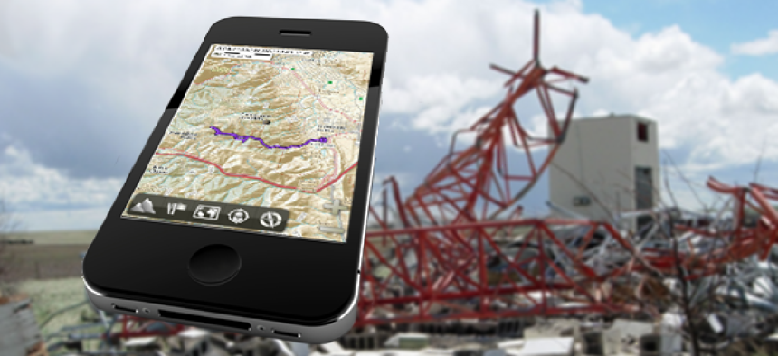
Need GEOINT? There’s an app for that, even when disconnected.

A new capability lets the military, first responders and security personnel share geospatial intelligence data via mobile devices even with little or no connectivity.
Disconnected from the server or cloud? There’s an app for that. A new software program lets the military, first responders and security personnel share geospatial intelligence (GEOINT) data via mobile devices even with little or no connectivity.
The National Geospatial-Intelligence Agency’s Geospatial Intelligence Advancement Testbed Mobile Apps Team developed the capability in response to requests from intelligence community users, said Benjamin Tuttle, the team leader.
“One of the No. 1 things that we hear from people is, ‘this has to work disconnected,’ whether it’s urban search-and-rescue people who are worried that the [cell] towers are going to be down or it’s security forces at a special event who are worried that there are going to be so many people that the towers are going to be intermittent in terms of connectivity,” Tuttle said.
“Everybody wants to know that they’re still going to have that [geospatial intelligence] and situational awareness that NGA is trying to provide them,” he added.
Tuttle’s team has been testing a couple of options, taking out-of-the-box Android and Apple iOS devices and developing apps that would work on them at all times and circumstances.
“The key thing here is having caches of data -- be that imagery, vectors or points of interest -- all on the device in a format that can be used,” he said. “Right now that tends to be a lot of the standard formats that are available – XYZ tiles, GeoJSON.”
The Open Geospatial Consortium recently released a new standard called GeoPackage – ushered in by an interagency working group led by the Army Geospatial Center and including NGA. Tuttle hopes the standard will lead to a single format for storing geospatial intelligence (GEOINT) data, as well as reducing duplication and storage needs.
Meanwhile, NGA is integrating GeoPackage into apps it’s been working on, including MapCache, a mobile phone app that provides an interface that lets users navigate a map, set areas of responsibility and build a data cache from sources they choose.
Once they have the data on the phone, NGA’s Mobile Analytic GEOINT Environment (MAGE) tool comes into play.
The app lets users access cached GEOINT on their devices so they can look at vector layers and query the data whether they’re connected or not. “It also allows them to make reports back from the field,” Tuttle said. “If they’re connected, those reports will immediately submit up to a server to be shared out with anyone else on the team.”
The reports could be text, voice recordings, photos, videos – all geotagged and time stamped by the device.
“In disconnected mode, it will cache those reports that you make in a local database on the device. Then in the background [it will] watch for you to reconnect, and when you’re reconnected will submit those reports to the server for you,” he said.
The app also does location tracking. While connected, it pings users’ locations to the server. While disconnected, it will keep tracking that information and store it in the local database that can be submitted back to the server without any interaction from the user when they reconnect.
MAGE, which NGA started writing last July, is still a work in progress, Tuttle said. For one thing, it’s limited by the storage capacity of the device it’s on, which is where the GeoPackage standard will help.
“We definitely do a lot of work with users upfront trying to set expectations about what can and can’t be stored within those volumes,” Tuttle said. “What it really comes down to is trying to build cohesion across the community to say, ‘Look, we have this challenge and we can’t all choose to store our data in different formats and make people download the same data in three different formats.’”
MAGE also lacks peer-to-peer (P2P) communication, relying instead on a client/server relationship.
The next version of MapCache offers P2P, Tuttle added, but overall P2P is tricky because the method differs among platforms. Apple iOS devices wouldn’t be able to communicate with Android tablets, for instance.
“It really seems like we’re going to have a multiplatform ecosystem, so there are some challenges that we’re going to have to overcome,” Tuttle said. “That said, that’s not scaring us away. We see the peer-to-peer as a big part of this in terms of sharing data.”
Tuttle and his team are looking at how disconnected app users can share data and processing loads much the same way people use cloud technology but with an added question: Could you share that via P2P connections on mobile devices that can talk only to one another?
For now, the next step is additional testing this summer, Tuttle said.


