New tech drives DOD's geospatial spending


Connecting state and local government leaders
An industry analysis firm sees growth driven by advanced geospatial products and a strong demand for 3D geospatial technology.
The Department of Defense is strategically tapping innovations in geospatial technologies to ensure commanders at every level have a deeper understanding of rapidly evolving operational environments, according to a recent report from industry analyst Frost & Sullivan.
Among the newer technologies are an increasing number of geospatial products that fuse multiple data sources and formats that provide intelligence to military commanders and civilian emergency responders.
Frost & Sullivan’s US Defense Geospatial Market analysis report predicts these two trends will boost the DOD’s spending on geospatial products, services and research, estimating it to reach $2.43 billion in 2018. The largest portion of spending – $900.1 million – will go to engineering and integration initiatives.
Although the industry analysis firm sees the Defense Department primarily expanding its capabilities for collection, processing and creation of geospatial data, it also expects DOD to develop network-centric mission applications that integrate information derived from sensors, signal/image processors and other sources.
“After engineering and integration, improvements in dissemination and targeting will command the most attention, with spending in 2018 likely to stand at $712.6 million and $579.4 million respectively,” said Frost & Sullivan senior industry analyst John Hernandez.
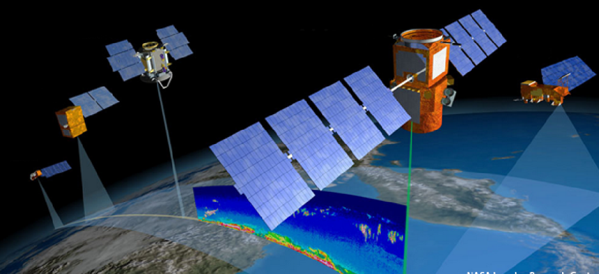
The growth is being driven by the benefits from multi-fused geospatial products and a strong demand for 3D geospatial tools such as light detection and ranging (LIDAR) technologies. Advances in LIDAR technology to automate the identification of natural and man-made terrain data are also underway.
But the challenges posed by the integration of the volume, variety and velocity of geospatial data, coupled with the reduction of “operations tempo for overseas contingency operations,” may restrain growth, the company said.
“With such extensive efforts being made to introduce new technologies, it will not be long before geospatial tools become interactive to the point where they will not only offer a battlefield commander situational awareness, but also suggest possible/logical plans of action,” Hernandez said in the announcement.


