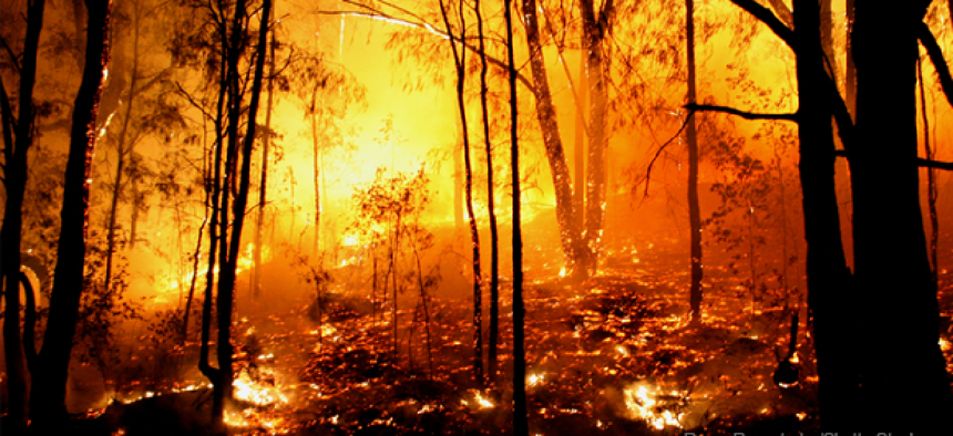
Forest Service wants app to map firefighter safety zones


Connecting state and local government leaders
The U.S. Forest Service plans to develop a mobile app that would allow firefighters to determine safety zones during a firefight.
The U.S. Forest Service wants to develop a smartphone app that would let first responders more accurately determine how close they can get to a fire without getting burned.
In a notice seeking a source to develop the tool, the Rocky Mountain Research Station Fire Sciences Lab in Missoula, Mont., cited studies showing that determining a safe fire zone is a challenge, in fact a “multivariate complex problem that is not conducive to simple calculation.”
The problem requires taking factors like wind speed, the slope of the rescue terrain and the intensity of the fire into account, the researchers said.
Research into determining a physical safety zone have been spurred by new firefighter safety rules that have attempted to link safety zone size to factors like wind and terrain slope.
The objective is to develop an Android or iOS app that could perform the required calculations from remote locations with or without connectivity, according the lab.
In locations where the user has connectivity, the app could directly access data regarding terrain slope, vegetation coverage, forecast winds, etc. However, where connectivity was limited or did not exist, the app would use existing baseline data and user inputs to calculate the safety zone, the notice said.
The app should also allow users to input a specific locations or use GPS to help them determine their position. Ideally, the app would also access information on vegetation coverage to assess vegetation type, height and flammability.
Ideally the user could also specify a wind speed and direction. The app would then either automatically calculate if the position was aligned with the wind. Other landscape related information, such as canopy characteristics will be preloaded using the best available public sources.
The application would be free for use and would be made available on the typical access sites.

NEXT STORY: Mobile app leverages GPS to provide safety on the go


