Too much snow? Phone it in.


Connecting state and local government leaders
Several municipal governments have created mobile apps that allow residents to better track and participate in snowstorm response.
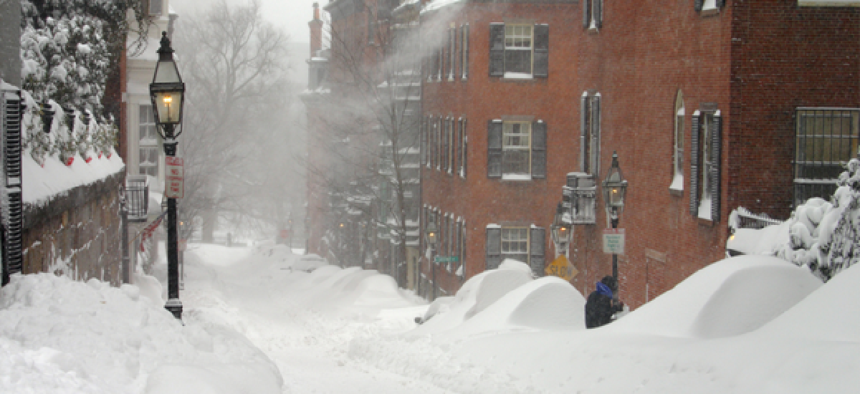
The Northeast is reeling from a crippling storm Juno that dumped over 25 inches of snow in some regions, straining state and local governments that are trying to keep residents safe while also keeping roads clear and services open.
Some jurisdictions enlisted mobile applications to help alert residents of plow schedules and assist in snow removal awareness.
Boston’s SnowCOP system maps working snowplows and shows officials which streets have and have not been plowed yet. Built by Esri, the interactive web application lets city managers correlate citizen complaints, snowplow assignments and response activities to maximize resources when responding to the event.
Residents can use the city’s Citizens Connect app that lets them report snow shoveling requests and other issues from anywhere in the city using their mobile phone.
Boston also offers the Adopt a Hydrant program, a map-based app that allows individuals, small businesses and community organizations to volunteer in shoveling out buried fire hydrants, which can cause dangerous delays for fire fighters. Built in a weekend by Code for America, the app lets users name their adopted hydrant and allows other users to "steal" ownership if shoveling is not done in a timely manner.
PlowNYC is a mobile application and website that offers information to New York City residents regarding progress of plow vehicles and which streets are plowed. However, the service’s website notes that for formal information, residents should use the 311 call service.
And due to changes in data and elements on the ground, the current data might not be accurate, the site noted. Some vehicles that plow might not use GPS technology and therefore, cannot be tracked via PlowNYC.
In Chicago, residents can use an application called ClearStreets, which uses data provided by Chicago’s Plow Tracker and allows users to view plows. The app is not without its limitations. For example, it can only show that a street was serviced. The app cannot differentiate between plowing and salting; it just tracks that a municipal vehicle passed through. Also, there is no information provided regarding the clarity of streets because there are not officials on the ground to update that type of data.
ClearStreets cannot say with any confidence that the information is updated in real-time. Most vehicles are measured based on approximate locations using GPS tracking, and the app simply provides a best guess. The app is being touted as part of Chicago’s open government initiative.
Buffalo, N.Y.,has addressed the concerns of citizens who might need plowing services or whose streets have yet to be serviced in a joint effort between the Division of Citizen Services and the Department of Public Works. By equipping plow trucks with GPS tracking devices, drivers can communicate with central computer systems and alert citizens requesting snow removal that trucks have serviced their area and the request was completed.
Residents in Minneapolis can report ice and snow related hazards through a mobile application through Minneapolis’s 311 service. Residents can also find out where they can legally park in a snow emergency with an app that maps streets with parking bans. It also features a quick call button that connects to the Minneapolis Snow Emergency Hotline and also allows residents to receive text alerts.


