Governments hitch a ride on social sharing apps

Waze and Uber partner with local governments to share information, which benefits drivers, riders and city planners.
The growing number of people depending on ridesharing and traffic apps has not escaped the notice of local government officials, who are eyeing the data generated by the services to improve city services.
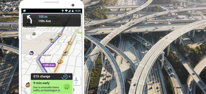
Recently, Los Angeles Mayor Eric Garcetti announced an information-sharing partnership between the city and Waze, the community-based traffic and navigation app that alerts drivers in real time to accidents and other hazards. Under the terms of the agreement, the city provides data to Waze from across its departments -- including information about road closures, construction, film shoots and safety hazards as well as hit-and-run notifications and Amber alerts -- so drivers can avoid blocked streets and congestion.
In return, Los Angeles will get aggregated, publicly available data from the app -- including user-generated reports, incident data and aggregate traffic data that can be analyzed and eventually used to improve city traffic strategies. The city is already working on how to integrate this massive collection of data into its 311 system so it can respond to incidents in real time.
Boston already enjoys a similar information-sharing arrangement with Waze; the Boston Traffic Management Center can now use Waze's transportation data to better organize the city’s traffic flow -- including coordinating traffic signals more accurately.
Waze has been engaging in public-private partnerships for some time; the company’s Connected Citizens program partners with city governments across the globe to exchange traffic information. Fast Company reports, for example, that Rio de Janeiro is using Waze data to plan garbage pickup routes, and Washington D.C.’s Department of Transportation is leveraging the 650,000 DC metro users in a district-wide “war on potholes.” And it seems to be paying off. Over 10,000 potholes have been reported in just a month’s time – nearly as many as have been reported so far this fiscal year using conventional methods such as 311.
Waze is not the only mobile application company using its data to cozy up to government. The popular ride-share service Uber has a partnership with Boston in which it gives the city information on its quarterly trip logs, which include trip time stamps, and pick-up and drop-off data on ZIP codes, distance traveled during trips, duration of trips and technical support to interpret and make use of the data.
“Most cities have not had access to granular data describing the flows and trends of private traffic,” Uber wrote on its blog. “The data provided by Uber will help policymakers and city planners develop a more detailed understanding of where people in the city need to go and how to improve traffic flows and congestion to get them there.”
And the data will keep coming.
A recent Pew study discovered that 81 percent of the people who said they use smartphones have used “map apps to navigate through a city or neighborhood.… 31 percent have used apps to get information about public transportation, and 14 percent have used apps such as Uber or Lyft to hire cars.”


