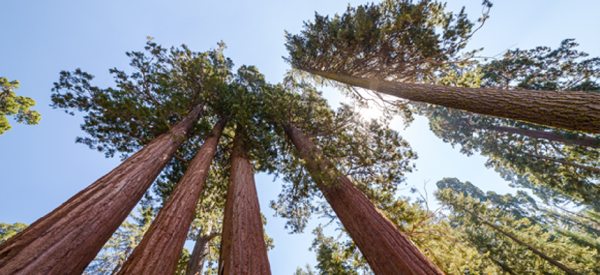
NPS looks to geospatial analysis for studying giant sequoias


Connecting state and local government leaders
The National Park Service wants to use advanced imaging tools to monitor the vitality of sequoia groves in drought conditions.
Giant sequoias have been growing in the cool moist areas of southern Sierra Nevada for 4,500 years. But scientists think continued existence of the hardy trees that can live for 2,000 years may be threatened if the environment they’ve long enjoyed literally dries up. If rising temperatures and drought persist in California, reproduction of the giant sequoias, whose seedlings are vulnerable to prolonged drought, may be at risk.
In order to conserve giant sequoias, the National Park Service wants to map foliage die-back in the sequoia grove canopy. And because the trees are so tall and cover such a wide area, the Park Service sees remote sensing technology as the most effective method.
A recently issued solicitation to leverage high-resolution hyperspectral and LiDAR (light detection and ranging) data to map the effect of drought on giant sequoias asserts that certain radar and LiDAR technologies have a proven track record of “providing detailed information on the 3D structure of conifer and broadleaf forests in many research and applications projects.”
Specifically, NPS is looking for capable parties to provide aerial sensing platforms for collecting imagery of nearly 146,000 acres of giant sequoia groves during drought conditions. Data gathered from the sensing platform will be combined hyperspectral and LiDAR data into 3D location maps to show the water content in the canopy, canopy greenness and canopy structure. Analytics are also required to determine relationships between canopy anomalies and ground-based observations of canopy drought stress collected in fall of 2014. The findings should be interpreted to assess the drought impacts on the trees and project sustainability for the future.
The government has done geospatial analysis for decades, and the NPS solicitation is the latest example of how the available tools are evolving. For example, the U.S. Geological Survey uses and advanced version of LiDAR to gather high-resolution elevation data for 3D maps to gauge flood risks, monitor the health of crops and measure the biomass of forests around the country. USGS has also used interferometric synthetic aperture radar, or IfSAR, to capture elevation data in Alaska, where the state’s size, remoteness and nearly constant cloud cover precluded the use of LiDAR solutions.
The technology has also been used for urban mapping in cities such as Philadelphia.
NEXT STORY: Behind the iOS app advantage


