Crowdsourced mapping for flood tracking, prediction

In Norfolk, Va., researchers use drone video on YouTube, a mobile app and GIS software to analyze regional flooding.
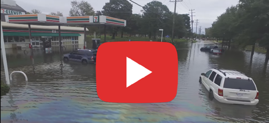
The latest tool in flood prediction for low-lying coastal areas in Hampton Roads, Va., is crowdsourced drone footage posted on YouTube.
While regulations and no-fly zones in the Norfolk area (home of the Norfolk Naval Base) should prevent drones from being flown, Derek Loftis and his team at the Virginia Institute of Marine Science realized that the regulations don’t seem to stop drone hobbyists from flying.
“After Hurricane Matthew hit, people were out there recording with their drones,” Loftis said. “Some of them even attached phones to produce live streaming video.”
Loftis realized he could use the drone video as a cost-free way to check the accuracy of his primary flood prediction model, StormSense.
StormSense, which uses street-level hydrodynamic modeling to determine types of flooding as well as the areas at highest risk, is dependent on ultrasonic sensors. At around $5,000 a pop, Loftis said, many towns can’t afford to put them in every spot where there might be flooding. And while Loftis just won a $75,000 grant from the National Institute of Standards and Technology to purchase more sensors, it still won’t be enough to cover every area he wants.
With the video from the drones, Loftis can see “the maximum line of flooding, and we can check if it is the same as we predicted,” he said. “We can figure out how off we are. Are we 20 feet or are we five feet off.”
If using YouTube drone video sounds less than scientific, Loftis agreed. “That’s true,” he said. “But if you can get a hold of the raw footage, you can stitch it into useable data using Esri’s Drone2Map tool that analyzes drone images and converts them into 2-D and 3-D maps.
Using an app from Esri is a strategic part Loftis’ long-term plan to make his flood prediction methodology useable anywhere by anyone. “A lot of cities have contracts or site licenses for the Esri GIS program and are filled with people certified to use it.”
Another way to track flooding is with the Sea Level Rise app, which, like the drone footage, crowdsources native knowledge. Created by the non-profit Wetlands Watch, the app allows local citizens to map flooding during and after an event.
“I watched all the spontaneous social networking spring up during Hurricane Sandy,” Wetlands Watch Executive Director Skip Stiles said. “I thought, well wait a minute, could you use social networking and crowdsourcing to get the knowledge to people who need it?”
The organization partnered with Concursive to create the Sea Level Rise App. Anyone can view the app, but only those who have gone through a 10-minute training are authorized to add data to the map.
Users go out during a flooding event and walk around the edge of the water. Every five steps they use the app to drop GIS pins. The data they collect is exported as an Excel file so it can be turned into a shape file and overlaid on an emergency management grid.
This allows researchers like Derek Loftis who gets data from Wetlands Watch to reduce the margin of error on his prediction models, Stiles said, who is hoping to get the margin of error down to 10 feet.
This not only helps emergency crews know where to go but also has a very practical application for areas like Hampton Roads that have school flood days instead of snow days. “My phone might buzz and say, ‘High Water Advisory for the city from 12-4, and I don’t know when or where exactly,” Stiles said. “With this app you can get enough data” so that at 8 a.m. parents will know if after-school activities might be cancelled because of flooding.
While the app is currently free, Stiles and his team have created a business model to make it self-sustaining.
“Eventually we want to give people franchise areas in which they can map, say, for example, the City of Virginia Beach. The backend data support would be done by Concursive, and the City of Virginia Beach would pay a few bucks and then they could then have all the data,” he said. “Collect a few pennies from a lot of people and it becomes self-supporting.”
Stiles also is looking into the idea of selling the data to insurance companies. “Do you know how many cars we lose due to flooding?” Stiles asked. “If an insurance company paid the cost of just one SUV, we could sustain the Sea Level Rise project for a year.”


