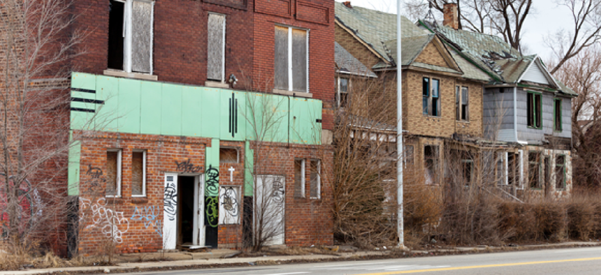
Philly enlists tech to identify abandoned property


Connecting state and local government leaders
A model that looks at city records, crime data and Lidar imagery helps officials flag vacant buildings for inspection and demolition.
Officials in Philadelphia are using Lidar technology to get a better look at vacant properties before sending inspectors into potentially dangerous buildings.
A Lidar system emits a beam of light from an airborne laser source and then captures the returned light in sensors as it bounces back from a reflecting object, measuring the distance by calculating the time required for the round trip.
The Lidar images of city rooftops show a color range to signal height disparities across a property's roof. That information allows the staff at the Department of Licenses and Inspections to determine which homes might have collapsing roofs and should be demolished, according to a report on Philly.com.
Licenses and Inspections worked with Office of Information Technology employees and a GIS team to build a model that shows which properties might be vacant by looking at city records – such as unpaid water bills, property violations, assessments and whether the building is freestanding or a rowhome. It also takes into consideration the property’s proximity to schools or public transit, which makes it a greater public safety threat. Overlaid crime data shows which spots were being used for drug activity, and the Lidar images give officials a bird’s eye view of the roof, which shows holes and structural damage.
The combined information gives officials a way to prioritize inspections and demolitions in the city that has as many as 13,000 vacant residential structures.
The first version of the model debuted in late 2015, and the current version has been tested since August 2016.
The city had been collecting Lidar imagery since 2008. In 2010 it hired PenBay Solutions to scan the insides of selected public buildings and the underground transportation infrastructure. A robotic 3D LIDAR platform was pushed through the halls, rooms, tunnels and other spaces at a human's walking pace, collecting more than 5,000 data points per square meter. The robot also took 360-degree geo-referenced images.
NEXT STORY: The infrastructure of things


