Syracuse gets early warnings on water main breaks and fires

The city is leveraging teamwork, data and open source code to build models to help it predict water main breaks and fatal house fires.
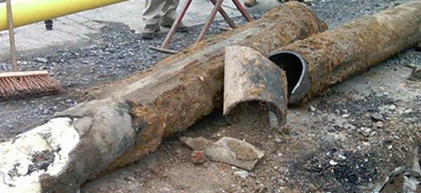
Like many cities, Syracuse, N.Y., faces problems with maintaining aging infrastructure, and with nearly 180 water main breaks per year, emergency repairs on its water and sewer lines were straining city resources. To get ahead of problems, the city’s Innovation Team worked with several departments and summer fellows from the Eric & Wendy Schmidt Data Science for Social Good project at the University of Chicago to develop an early warning system for water infrastructure problems.
The Water Department already had digitized records of all of its assets, which it usually used when responding to water main breaks. The fellows used the water system’s historical geodatabase, along with 12 years’ worth of data on the water system, its surrounding geology, pipe composition, streets, work orders and service calls to build a machine learning model that assigns risk scores to each water main on a map. They also took into account the condition of the roadway above the water pipes.
According to the fellows, the analysis helps the city prioritize mains for maintenance, make decisions about the kinds of replacement mains that are best suited for different locations and coordinate activities between departments to get the most infrastructure work done in a single dig.
The model could also help other cities facing challenges with aging water infrastructure, according to a blog by the fellows. The code is open source and available on GitHub.
This year, the i-team and Syracuse’s Chief Data Officer, Sam Edelstein, will begin working with the Syracuse Fire Department to identify the neighborhoods least likely to have smoke detectors in the homes.
The fire prevention model comes from Enigma’s Smoke Signals, an open source analytics program developed by for New Orleans after a house without a smoke detector caught fire and resulted in five deaths, according to Enigma’s Lead Engineer Jeremy Krinsley.
In New Orleans, U.S. Census Bureau data was used to identify the housing blocks least likely to have smoke alarms so those neighborhoods could be targeted for free smoke alarm installations.
Specifically, the model uses data from the American Community Survey and American Housing Survey -- which collect data about the age of the structure and the residents’ age, poverty level and length of time in residence -- to predict whether residents living in buildings likely to sustain fire-related fatalities have a working smoke detector.
That Census data is then paired with the city’s location data to identify neighborhoods that have a high risk of not having smoke detectors. “We are correlating questions that are virtually identical in the two surveys and basically running analysis on it,” Krinsley told GCN, until they are able to connect geographies with the data regarding smoke detectors.
The model has since been extended to apply to cities within the 30 largest metropolitan statistical areas, “because that’s where we feel the most confident about the results of the data.” Krinsley said. City officials can visit the Smoke Signals website, download the data spreadsheets to see the Smoke Risk score of a particular street, neighborhood or ZIP code, and combine that with the available map on the website. The open source code is also available on GitHub.
Syracuse has already used Smoke Signals to identify areas at risk, and soon the Innovation Team will partner with the fire department to deliver free smoke detectors to those homes.
NEXT STORY: Nokia IoT solution targets smart cities


