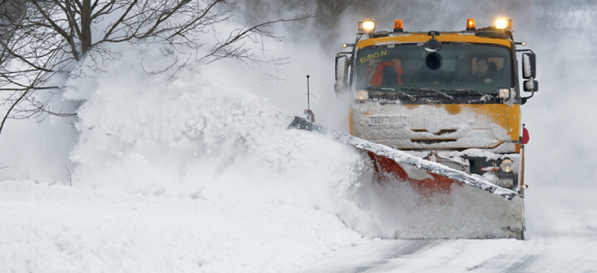
How mobile, big data and citizen engagement help Iowa manage winter emergencies


Connecting state and local government leaders
By combining location data with information from sensors installed on maintenance vehicles, Iowa can provide web-accessible analytics and applications to help travelers, businesses and state agencies make better decisions.
The digital revolution has given government the opportunity to connect with citizens through the smart technology they carry in their pockets. Through apps and websites, citizens can access government information in the same real-time and mobile-enabled way they engage with the rest of the world.
Because it enables citizen engagement, field mobility, superior analytics and data management, location data is at the core of government transformation. It helps both government and citizens understand where things are happening and why, allowing them to apply that understanding to decision making.
Location data is particularly important when government agencies are preparing for winter weather events. The massive amount of planning and the real-time decisions that must be made mean that accurate information is critical. With the push for opening data, increasing transparency and controlling spending, many governments are finding new ways to communicate the strategy and dollars that go into preparedness decisions.
Authoritative, historic and real-time data are the essential components of any snow and ice operation. It allows departments to remain informed, operate with the most up-to-date information and make decisions based on reliable information. By taking existing information and combining it with data from trusted providers and weather services, agencies can plan for a storm before it comes, monitor its progress and address recovery.
The Iowa Department of Transportation, for example, is using location analytics to improve its response to winter storm challenges and keep the public informed. Iowa DOT introduced an application that visualizes the costs of keeping state-owned roads clear during winter weather. The Winter Cost Calculator shows how much money has been spent on material, labor and equipment for the previous 48 hours of winter weather road maintenance. Color coded roadways show where resource usage is above, below or in-line with the statewide average.
In addition, users can click on segments of roadway to get costs specific to that segment, as well as more detailed information such as the last time a plow truck passed that section of roadway and how much time was spent applying materials. Not only can citizens see exactly how their tax dollars are being spent during winter emergencies, they also can see a real-time detailed picture of the storm’s effects on their roads and find the best routes to avoid getting stuck in the snow.
The data that powers the Winter Cost Calculator comes from the advanced vehicle location systems installed on all Iowa DOT maintenance vehicles. Data from the system is processed in near real time and used for various analytics and applications to help travelers, businesses and Iowa DOT to make better decisions.
Like many other states, Iowa has been collecting this type of data for years, but this application allows it to share this information with citizens in a way that is easy to use and understand. The state hopes that by providing this information, it can increase transparency with regards to resource allotment and give drivers the ability to select the safest path through winter storms by helping them to see which roads have and have not been treated and serviced.
It is this synthesis of field sensors, real-time analytics, mobility and open data that shows Iowa as a leader in digital transformation of state government.
NEXT STORY: Section 508 refresh seeks digital access to all


