A growing city tackles sea level rise


Connecting state and local government leaders
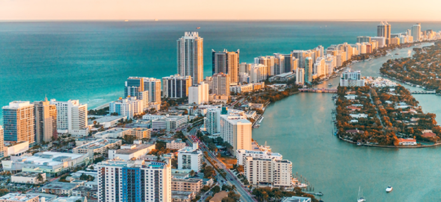
Miami is taking a multi-faceted approach to address growing development in an area vulnerable to sea level rise.
With a flat, porous terrain, Miami faces an increasing challenge of combating sea level rise while still supporting economic development. To facilitate quick, data-driven decisions, the city has enlisted a variety of technologies.
To help urban planners, Gridics, a local start-up, built a software-as-a-service application called Zonar.City that allows developers and city officials to create 3-D development scenarios on a cloud-based map interface.
“I initially created this application as a program to calibrate new zoning codes and test almost instantaneously what zoning regulations look like from a mapping point of view,” Max Zabala, Gridic’s co-founder and vice president of product, told GCN. “When you start to couple the planning aspects with access to city property records and all of the zoning layers, then you can really get an interactive application where you can select a parcel and it will tell you what you can do with it based on zoning.”
When a city amends a zoning code, it must “inform the general public of the changes,” Zabala said. “Because our platform is cloud-based, the moment that there is a change, then the application is updated instantaneously, and people who have access to Zonar.City will always be using the newest version of the code.”
Miami Chief Innovation Officer Michael Sarasti sees the biggest value in Gridic’s application for city developers and planning officials who want to create “dry runs” of their planning and zoning projects.
And the city has plenty of projects in the works, supported by a variety of grants.
To help plan for Miami’s future, the city hired Jane Gilbert as chief resilience officer to spearhead a comprehensive strategy to deal with climate change, sea level rise and overall resilience issues. Funding for the position is provided by a grant from 100 Resilient Cities, a Rockefeller Foundation program, for at least two years.
In March, Miami was selected to participate into Bloomberg Philanthropies’ What Works Cities initiative to streamline the city’s building and permitting processes. The city is using some of the funding to develop a stormwater management system.
“We are working on embedding best practices to develop a master plan into embed some heavy-duty [internet of things] capabilities into our stormwater management system moving forward,” Sarasti said.
“We are doing some mapping to figure out what our data needs in the city are and what we want our framework to look like in terms of data and sensors,” Sarasti said. “We want to be able to use the ongoing collections from our network of partners to figure out how we can map our data needs and use it inform our internet of things strategy moving forward.”
Esri is also worked with the city and Miami-Dade County a pilot program that created a 3-D model of the downtown district for urban planning.
“At first, it was a static model, but over time we have added a new capability using the Esri JavaScript 4.3 API, which allows developers to create custom applications and visualizations using the data interactively,” 3D Solutions Engineer Geoff Taylor said.
Sarasti said all of these projects are working in parallel to provide the city with different solutions to its problems with sea level rise and urban developments.
“There is a lot of interest and excitement in what we are doing here because it is a critical need,” he said. “We have an opportunity to be innovative and tackle solutions to problems that will hopeful be transferred elsewhere.”


