In Alabama, a resource map that does so much more


Connecting state and local government leaders
What started as an effort to digitize cultural resources data turned into a project that increased efficiencies for the Alabama National Guard.
A database that made it quicker and easier for the Alabama Army National Guard to keep track of cultural resources across the nearly 24,000 acres of the McClellan Army National Guard Training Center is now being used for project planning for several departments.
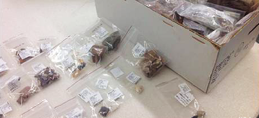
The training center sits on land whose cultural resources include gravesites, archeological artifacts and an assortment of historic documents associated with Native Americans, early settlers, Confederate troops during the Civil War and training for both the world wars.
“We had no comprehensive or cohesive way to look at our documents or know where our sites are located,” Heather Puckett, the cultural resources manager for the Alabama National Guard, told GCN. “We had multiple subcontractors who had performed work on our property, but there was really no database or mapping mechanism to tie everything together.”
The data was stored on multiple computers across the network, and some wasn’t even digitized and had to be scanned. Puckett and Rebecca Ridley, the Alabama National Guard's GIS manager, entered the information into Microsoft Access databases that connected to a SQL server and populated a map viewer.
Users can zoom into an area of interest on the map, click on it and get popups showing any current or past projects, any maintenance orders, historic photos, deeds or other information. Users can click directly into the related document or to the folder that houses it.
Recently, the team was able to vastly improve some of the geolocation information thanks to integration of LiDAR -- Light Detection and Ranging -- data from Alabama’s Calhoun County and the Natural Resources Conservation Service that helps determine changes in elevation.
A subcontractor was able to use the data to pinpoint large depressions that indicated mining properties used by the Confederate army. Without the LiDAR data, the company would have had to survey the steep land.
After Puckett and Ridley created the database for cultural resources, other Alabama National Guard departments saw how it improved workflow and asked to bring the technology to their offices, too.
“Once people saw what we could do, then they all wanted it because it just made business so much easier,” Ridley said.
Today there are at least seven different databases that feed into the ArcGIS map viewer and detail cultural resources, planning, maintenance and natural resources. The entire system comprises about 2 terabytes of data, Ridley said.
But neither Puckett or Ridley expected this database to grow into to what it has become: a resource used by many throughout the Alabama National Guard.
“It really started as a way to create internal identifiers for cultural resources, and then once we did that we realized we could take it, run with it and do so much more,” Ridley said.
The database itself is constantly growing, with new information added hourly. “It is a living system, it’s not just something that was created to sit on the shelf,” Puckett said.


