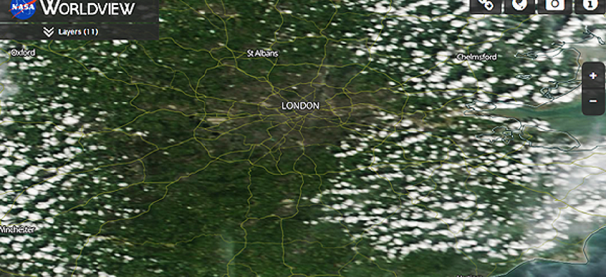
London's Grenfell Tower fire could be seen from space

The Suomi NPP satellite spots fires by tracking thermal anomalies in the infrared spectrum.
The Suomi National Polar-orbiting Partnership satellite constantly captures data that provides insight on what is happening on Earth’s surface. A joint mission between NASA and the National Oceanic and Atmospheric Administration, Suomi NPP circles the globe 14 times a day and sends images and data back to a receiving station on the ground.
It can track atmospheric ozone and aerosols levels, sea and land surface temperatures and is able to monitor natural disasters such as volcanic eruptions, droughts, floods, dust storms, hurricanes/typhoons and wildfires. The U.S. Forest Service, for example, uses Suomi NPP to monitor fire progression rates, fire intensity and other metrics related to forest fires.
The satellite can also pick up smaller fires. Earlier this week, for example, a fire engulfed the Grenfell Tower in London and claimed multiple lives. Suomi NPP was able to pick up the blaze.
“The detection that we observed over London last night was produced with the higher spatial resolution 750 meter data,” said Wilfrid Schroeder, a research professor with the Department of Geographical Sciences at the University of Maryland.
The satellite spots fires by tracking thermal anomalies in the infrared spectrum. This usually shows vegetation fires, but urban fires like the one in London will also appear. Suomi NPP also picks up gas flares -- which Schroeder said are common in the Middle East – and anything else that releases heat in the infrared spectrum, like power plants.
Suomi NPP collects several terabytes of data every day, Schroeder told GCN. But the orbit is broken into segments, each in a separate file, to make data management easier and processing faster. The end product is more lightweight, because only the relevant information, like the location of the fire, is included in the final product.
The data is usually released within three hours of when it is downlinked from Suomi NPP.
A similar satellite, Landsat 8, a joint mission with NASA and the U.S. Geological Survey, has an even higher resolution, but instead of getting an image every 12 hours it sends an image every 16 days.
The resolution on Landsat 8 is so good, though, that when Schroeder planned a backyard barbecue to coincide with the satellite's flyover, Landsat was able to spot the fire from his grill.


