App helps communities align disaster resources


Connecting state and local government leaders
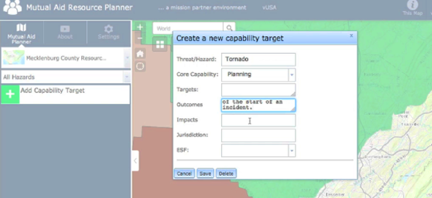
The Mutual Aid Resource Planner app helps emergency management managers create shareable plans for hazard-based scenarios.
When a natural disaster strikes a community, first responders from the surrounding areas help with response and recovery by providing fire, police or medical services. To make this mutual support easier to access, the Department of Homeland Security designed the Mutual Aid Resource Planner application to help emergency management planners create shareable plans for hazard-based scenarios.
MARP allows emergency planners to map existing hazards and risk assessments so they can develop more accurate resource plans. By pre-identifying the partners who can fill resource gaps, the MARP platform helps emergency planners create a more effective and resilient system.
The MARP tool is currently hosted by the National Information Sharing Consortium and is available as an Esri ArcGIS Online configurable template to any emergency planners with an ArGIS Online license.
“A community that chooses to use MARP has the ability to enter in their resources to partner with other communities,” Ron Langhelm, program manager of DHS Science and Technology Directorate's First Responders Group, told GCN. “All of the participants can identify the resources that they have available and their plans to help communities when they need additional resources.”
MARP also has the ability to help communities comply with the Federal Emergency Management Agency’s Threat and Hazard Identification and Risk Assessment process. THIRA requires communities to map their risks to core capabilities so they can understand specifically what they need to prepare for, and what resources they need to do so.
“In some cases with local government entities, they often struggle with the ability to interact with states, so MARP has the ability to interact with states to meet some of those needs on local level requirements at a tangible level that can be rolled into state THIRA reports,” Langhelm said.
MARP was tested in the Canada-U.S. Enhanced Resiliency Experiment for mutual aid between Lambton County in Ontario and St. Clair County in Michigan in April 2016. The program was tested again in New Orleans as part of FEMA’s Flood Awareness Apex program for community resilience in January.
“We provided those communities with the ability to test drive the system, play with it and identify whether it is supportive to their missions or not,” Langhelm said of the test cases. “They are free to pick and choose what is of value to them in moving forward with MARP.”
Communities can see how MARP could help them with resource designations through a free training tool available here.


