Iowa preps maps for automated vehicles


Connecting state and local government leaders
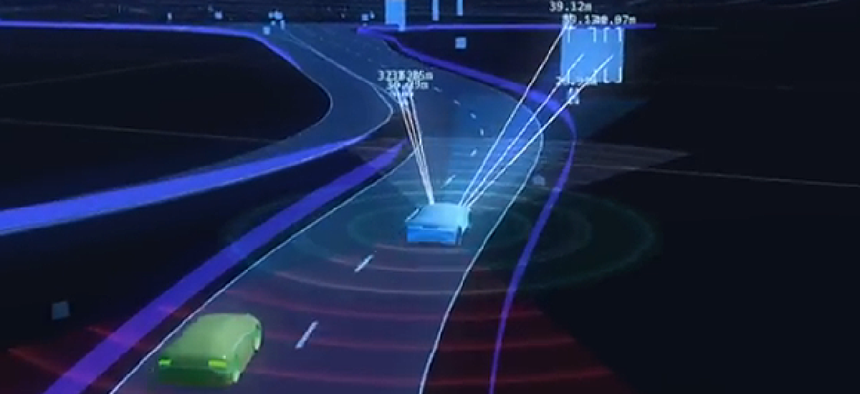
The high-definition maps will help vehicles "see" beyond what their on-board sensors show.
As vehicles roll off assembly lines with more automation and communication technologies, governments are beginning to plan for how they can take advantage of the increased connectivity.
Iowa began looking into automated vehicles about a year and a half ago, according to Scott Marler, the director of traffic operations for the state's Department of Transportation.
The state formed partnerships with two state universities and the company HERE North America to start looking at what “might we need to be examining to be preparing for this future of automated vehicles both in Iowa and the country,” Marler said.
Part of that planning included a study of the effects automated vehicles would have on Interstate 80, which cuts across the entire state, running through its capital and largest city, Des Moines.
The analysis found that implementing automated vehicle technologies could increase lane capacity and cut the number of crashes. The more automated vehicles there are on the road, the closer they can safely follow each other, leading to greater the lane capacity, according to Brad Hofer, location engineer for the IDOT's Office and Location and Environment.
If automated vehicles made up 50 percent of the traffic, Hofer said, that would result in an 11 percent gain per lane in capacity; 85 percent penetration would mean a 26 percent capacity increase.
Although the state hasn’t made any decisions about its roadside infrastructure for automated transit, it is working with HERE North American on developing high-definition maps that automated vehicles will use.
The maps “will essentially extend the sensors on a vehicle,” Hofer said. A car may have radar, lidar and GPS, but those can only "see" about 300 to 500 meters. High-definition maps will extend that range, allowing the vehicle to know what's over the next hill and around curves.
The expectation is that new cars will be delivered with these maps already installed, but the state’s traffic management center wants to be able to deliver real-time updates to the maps so cars could avoid accidents or other hazards.
“HD mapping provides a highly-precise view of what the road network looks like,” HERE North America explained in a blog post. “Real-time data shows what’s happening every minute, and that information is delivered to vehicles.”
The maps could also be vital when weather conditions make road markings unreadable to sensors.
Iowa is at the early stages of planning for automated vehicles, Hofer and Marler said. Officials plan to keep an eye on regulations and the technology, but it can be hard to keep up with an industry that’s changing all the time.
“Our crystal ball is cloudy,” Marler said. “No one has the perfect answer to any of this.”


