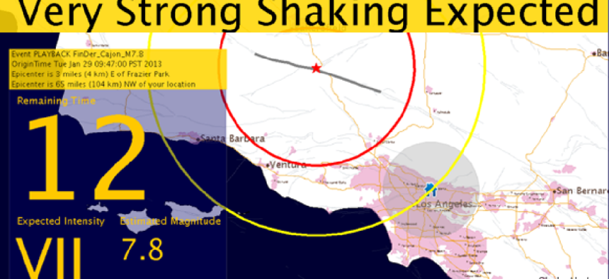
USGS advances ShakeAlert earthquake warning system

With $4.9 million in awards to research partners and $1 million in new sensor equipment, the U.S. Geological Survey will improve the speed and reliability of the warnings.
The U.S. Geological Survey is moving its earthquake early warning system into production with a $4.9 million in awards to research partners and $1 million in new sensor equipment.
The system, called ShakeAlert, uses ground-based sensors to identify and characterize an earthquake within seconds after it begins, and deliver warnings to people and infrastructure in harm’s way. It detects an earthquake's initial P-wave energy, which rarely causes damage, to estimate the location and the magnitude of the earthquake. It then sends a warning to local populations before the arrival of the S-wave -- the strong shakes that cause most of the damage.
Earthquake warnings of even a few seconds can enhance public safety by allowing people to take cover in safe locations, slow trains, stop surgeries, open elevator doors at the nearest floor and shut down industrial systems, which could prevent cascading failures. In some cases, the warnings can come a full minute or two before tremors are felt.
The ShakeAlert earthquake early warning system has been in development for 11 years.
The new awards are for a new set of two-year cooperative agreements with the California Institute of Technology; Central Washington University; the University of California, Berkeley; the University of Oregon; the University of Washington; the University of Nevada, Reno; and UNAVCO, Inc.
The agreements seek to improve the ShakeAlert system's sensor and telemetry infrastructure across the West Coast by upgrading the networks and installing new seismic stations to improve the speed and reliability of the warnings. The partners will also work to incorporate real-time GPS observations into ShakeAlert, refine the algorithms to rapidly detect potentially damaging earthquakes and more thoroughly test the warning system and improve its performance.
ShakeAlert partners will continue their work with state and local stakeholders on user training and education. There are currently about 60 organizations that are test users, from sectors such as utilities, transportation, emergency management, state and city governments and industry. Several of these are engaged in pilot projects to demonstrate the practical use of ShakeAlert in a variety of applications.
Version 1.2 of ShakeAlert rolled out in April, extending the production prototype launched in California in 2016 to Washington and Oregon and creating a fully integrated system for the West Coast that can support pilot user.
Among the testers in the Pacific Northwest are RH2 Engineering, which plans to use the alerts to secure municipal water and sewer systems so they remain usable after a major quake, and the Eugene, Ore., Water & Electricity Board, which will use alerts to stop turbines at a river power plant and lower water levels in a canal above a residential area.
The USGS will issue public warnings of potentially damaging earthquakes and provide warning parameter data to government agencies and private users on a region-by-region basis, as soon as the ShakeAlert system meets minimum quality and reliability standards, USGS said. The agency's goal is to begin limited public notifications by 2018.


