Responders fine-tune apps in back-to-back hurricanes


Connecting state and local government leaders
Lessons learned from Hurricane Harvey helped responders improve information sharing to help Irma victims.
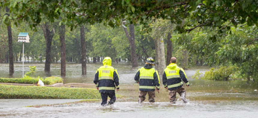
As first responders began sifting through the destruction wrought by Hurricanes Harvey and Irma, some used a geospatial-centric app to pinpoint areas -- and people -- in need of help.
After Harvey hit Houston, the International Association of Fire Chiefs (IAFC) deployed Esri’s Survey123 app for mobile data collection, while officials at the command center had access to a dashboard built in the company’s Web AppBuilder for ArcGIS with Operations Dashboard. Twenty teams from state and federal agencies used the apps to conduct more than 160 area surveys and documented about 20 rescues between Aug. 29, when they began using the technology, and early September.
When Irma soaked Florida, IAFC again deployed the apps but added Esri’s Workforce to deploy and track teams’ location and status and give responders in the field a common view.
“If they pulled somebody out of a house due to flooding, they were able to note the specific location,” said Thomas Jenkins, president of IAFC, which is helping coordinate search and rescue efforts in the affected regions. Besides the location, responders could easily attach photos that provided more context to help commanders better understand what was going on with specific rescues and get visibility into areas that need more resources.
Responders on the ground open the app and enter data on their location, whether they performed a rescue, information about the rescuee and photographs of the scene. After they submit the data, it shows up on commanders' dashboard and map, enabling decision-makers to use real-time data to allocate resources, such as sending boats to help people stranded in flooded neighborhoods.
Customized widgets extract other important and relevant data, such as the location of nearby shelters and major thoroughfares.
“As an incident commander, I have to be smart enough to know that [emergency response comes with] some secondary and tertiary effects,” Jenkins said. “Those people once rescued by boat or helicopter are going to have to go somewhere, and so we begin to talk about shelters. It begins to tell us where to put meals and bottled water and generators and things to sustain life for these people that we’re rescuing…. You’re able to make much more strategic and appropriate decisions as to where you assign resources.”
IAFC and Esri customized the apps to integrate latitude and longitude with U.S. National Grid (USNG) coordinates to ease communications. IAFC and its rescue teams use USNG, a point reference system, while other responders rely on latitude and longitude when street signs and landmarks have been blown away, Jenkins said.
What’s more, the app lets responders and commanders share data without broadband connectivity by relying on devices’ internal GPS technology.
IAFC’s use of the app is new, but Jenkins said he sees a lot of potential in it. “Part of our obligation with technology is to deploy it, use it, see what works, see what we can improve," he said. "Two hurricanes back to back has already improved the manner in which we’re able to harness this technology.”
Going forward, he would like to push this technology beyond federal and state teams to local responders and even officials in other capacities such as those at power utilities. “As we gain confidence and begin to saturate emergency responders with a program like this, an app like this, there’s no reason we can’t share information,” Jenkins said. “The last thing we’d want to do is silo information. A lot of good decisions are made when we have all the information available.”


