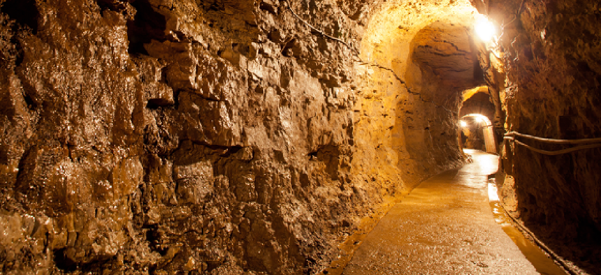
Mapping what lies beneath


Connecting state and local government leaders
DARPA is looking for technologies that could rapidly map and navigate unknown complex subterranean environments.
Relatively accurate terrestrial maps are now common thanks to NASA satellites, Google Street View and smartphone navigation, but mapping of underground spaces like subways, caves, mines and utilities has remained a more specialized field.
To get that same kind of intelligence for underground spaces, the Defense Advanced Research Projects Agency is looking for technologies that could rapidly map and navigate complex subterranean environments to locate objects of interest -- such as trapped survivors -- without putting humans in harm’s way.
“As these underground settings are increasingly relevant in global security and safety operations, innovative and enhanced technologies have the potential to disruptively and positively impact how the subterranean domain is leveraged without prohibitive cost and risk to human lives,” the agency said in a request for information.
“We’re looking for audacious ideas on how to overcome the multi-faceted challenges these locations present -- poor visibility and communications, difficult access, and unpredictable terrain among them -- and provide previously unimaginable capabilities for warfighters and emergency responders,” said Timothy Chung, a program manager in DARPA’s Tactical Technology Office.
Today's underground mapping can be split into three main areas, according to Eric Wittner, an Esri product manager. These include the mapping of natural resources like oil, which relies on using seismic data, sonar or other techniques; the mapping of empty space underground, like caves, which relies on LiDAR; and the mapping of underground man-made infrastructure, which can rely on historical records and manhole-by-manhole measurements.
Wittner pointed to Singapore as an example of what government can do with the aggressive use of underground mapping. With existing technologies, he told GCN, “they use a system to deconflict their utilities, their underground transportation, their natural caves and karsts, their man-made caves and karsts … and all their proposed planning, so when you buy a home in Singapore … you have a right to develop down to a certain depth and that can be conditioned based on conflicts with existing infrastructure.”
In the U.S., meanwhile, Department of Homeland Security and NASA are currently working on Precision Outdoor and Indoor Navigation and Tracking for Emergency Responders. Demonstrated last year, POINTER uses electromagnetic fields to communicate to a receiver its location. While not focused on mapping directly, the system can track first responders' locations both indoors and underground. It will be available to first responders in the first quarter of 2019, according to a DHS fact sheet.
The Defense Threat Reduction Agency also is exploring subterranean solutions. A project to allow semi-autonomous unmanned vehicles to communicate via mesh network as they explore challenging environments was a 2017 dig IT Awards finalist.
DARPA, however, wants to look beyond existing solutions to "disruptive concepts, approaches, architectures and technologies that overwhelmingly outperform current approaches for manually and laboriously mapping and searching subterranean environments." It's looking for revolutionary improvements in map resolution, navigation speed, search fidelity and systems cost.
Responses to the solicitation are due Dec. 15.
NEXT STORY: Scant progress on federal website performance


