Real-time sensor net helps cities evaluate trends

Oak Ridge National Laboratory is working with its home town to deploy sensors to deliver real-time information on population density, traffic and environmental conditions.
Oak Ridge National Laboratory is working with Oak Ridge, Tenn., to deploy sensors to deliver real-time information on population density, traffic and environmental conditions.
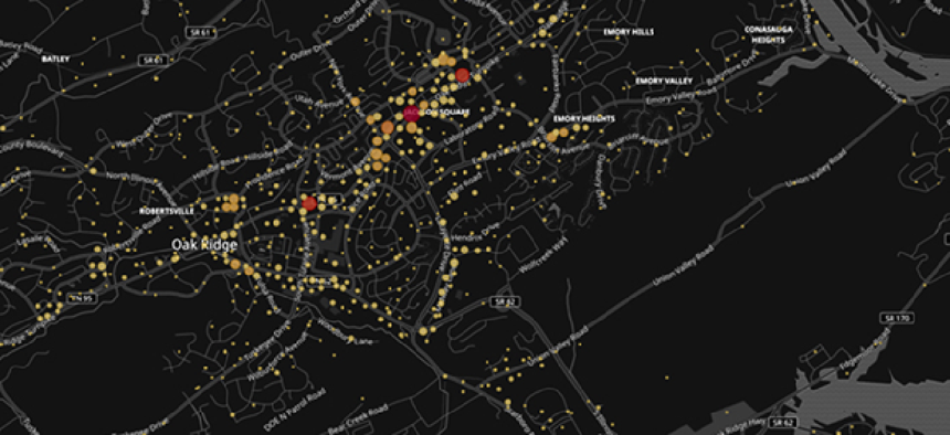
The UrbanSense program began with the idea of using data from cell towers to estimate population density in real time. ORNL researchers figured out a way to passively collect anonymous cellular tower data from the open broadcasts mobile networks make to manage capacity, according to lab officials.
“Every time your cell phone comes into the tower area, the tower uses that information to get an idea of how many people are potentially in a given area. These data are anonymous and openly available as part of the LTE [physical layer]," Gautam Thakur, a researcher with the lab's Urban Dynamics Institute, said in an email to GCN. "Basically, this gives us a random number that we can use to estimate population density using models.” he said.
There isn’t any location data or user information associated with this list of random numbers, so the lab created a model that uses census data, land use data and other information to distribute the population in a “gridded format.”
The platform also gathers open-source, anonymous data from virtual and physical sensors to help generate population dynamics in real time. Virtual sensors include online public datasets and self-reported data from social media, such as Facebook “check-ins” and Twitter posts, which can provide insight into the restaurants where people eat or where they spend time in throughout the day, Thakur said.
When the lab approached the city of Oak Ridge about working on this project, city officials suggested capabilities that would give it a more comprehensive picture of what’s going on within its borders. So researchers added off-the-shelf sensors for air quality, water monitoring and traffic to UrbanSense.
The project's data is being managed with a combination of lab servers – which house the social media data -- and Amazon Web Services cloud that hosts the sensor data until lab servers download it.
To display the metrics, Oak Ridge researchers built a Linux-based dashboard featuring data on humidity, maximum temperature, wind speed, visibility, carbon footprint, ozone levels, water quality and social media activity. There are plans to also add traffic information like car count and estimated traffic intensity.
Up to now, cities have relied on census reports and static data that are infrequently updated.
“These data do not tell cities where people are at a given time of day,” said Thakur. UrbanSense augments existing technologies by offering near real-time estimates of urban population activity. This is a huge improvement over anything cities have had before.”
The population insights gained from the program will help city officials optimize infrastructure, evaluate retail markets, manage traffic for local events and more strategically assess their development potential. It can also help with long-term planning, according to Oak Ridge Director of Administrative Services Bruce Applegate.
“The real-time data collected will not only increase our understanding of the city’s usage by residents and visitors but will also aid in the selection and prioritization of city-funded projects,” Applegate said.
The lab is working to optimize UrbanSense and expand on the prototype so other cities can take advantage of the technology.


