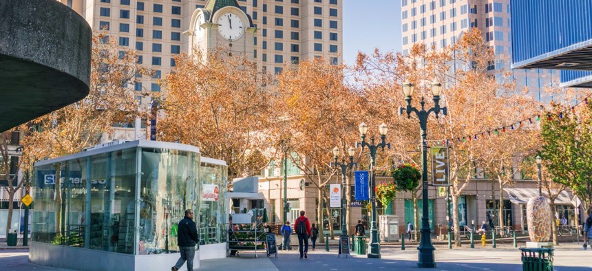
A Tech-Enabled Effort to Fight Census Undercounting in San José

San José, California
There’s a Jan. 15 deadline for localities to update their residential address lists for the U.S. Census Bureau.
The city of San José, California partnered on a community-based, address-mapping initiative to obtain more accurate residence data in December ahead of the 2020 census, which historically undercounts low-income people, minorities and residents with limited English skills.
The U.S. Census Bureau’s decennial documentation of the number of U.S. residents and where they reside determines state congressional representation and disbursement of more than $675 billion in federal funding across Medicaid, the Supplemental Nutrition Assistance Program and Head Start.
Atypical housing situations lead to an estimated $2,000 loss per missed resident, according to Cities of Service, an independent, New York City-based nonprofit organization that saw an opportunity for citizen volunteers to support the Census Bureau’s Local Update of Census Addresses operation.
“San José was interested because since the last census they have had a large influx of new immigrants and new population in general,” Mauricio Garcia, Cities of Service deputy director, told Route Fifty by phone.
The city, Cities of Service and Community Connect—which provided a custom SMS text messaging tool for counting residences—had a small window to register for LUCA, the deadline being this month, and pilot an effort to collect and map addresses. Localities have 120 days in the spring to make modifications to the bureau’s master address file.
Volunteers that San José engaged with were trained and equipped with a simple chat-bot on their mobile phones to help them identify unique residences by responding to text message questions as they walked traditionally underserved neighborhoods. Low-visibility, hard-to-count residences were the target.
“Those are the residences that will not be included in the census,” Garcia said. “There might be an address, but there might be multiple families living there through unofficial means.”
Signs include mobile homes or RVs in a yard, driveway or residential street; cars that looked lived in; garages with curtains or makeshift mail shoots; and multiple satellite dishes at a single address.
If four families were living in a home the initiative detected, they’ll now receive four census forms as opposed to the usual one.
Data gathered was segmented so the high-level information on households will be sent to the city while identifiable information is filtered out. The next step is to verify that the 820 project submissions received across 17 districts are, in fact, new addresses.
Of those entries, between 600 and 700 were low-visibility housing units, and 390 were in a different language—mostly Spanish and about 30 Vietnamese.
Cities of Service plans to compile its project findings into a toolkit and resource guide so that other localities can perform their own community-based mapping initiatives using SMS tech. The guide should be finished Jan. 15, 2018—before the LUCA registration deadline for disaster-affected parts of the U.S. and before participation materials are mailed to all others.
Dave Nyczepir is a News Editor at Government Executive’s Route Fifty and is based in Washington, D.C.
NEXT STORY: Graph databases help agencies spot relationships across silos


