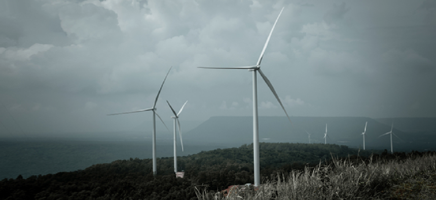
New wind turbine database pulls disparate data into a common tool


Connecting state and local government leaders
The United States Wind Turbine Database and its viewer will allow agencies to share data to better plan around wind projects.
A new public-private partnership provides a single source of information on U.S. wind turbines, combining datasets previously distributed across many different organizations and in some cases unavailable to the public.
The United States Wind Turbine Database (USWTDB) will allow government agencies to properly develop and plan projects around the turbines. The data will also be useful to environmental researchers and energy analysts as well as the public.
According to the Department of Energy, the total amount of electricity generated by wind turbines nearly doubled between 2011 and 2017. And while industry growth may not maintain that trajectory, the database "will help improve the siting of future wind energy projects as well as aid land managers in devising more up-to-date land-use and multiple-use plans,” said Tim Petty, assistant secretary for water and science at the Department of the Interior.
Data on wind turbines is used for energy forecasting, researching the turbines' effect on wildlife and limiting their impact on air defense radar, weather and general aviation.
The Departments of Defense and Homeland Security and the National Oceanic and Atmospheric Administration, for example, have already been using the database to assess the impact of wind turbines on line-of-sight radar systems. The spinning turbines can create "clutter," or unwanted radar echoes, that can disrupt the ability of the military and air-traffic managers to detect and track targets. Turbines can also interfere with Doppler radar, affecting the algorithms used to estimate rainfall and to detect certain storm characteristics, the National Weather Service said.
USWTDB combines information from the U.S. Geological Survey' Energy Resources Program, the Lawrence Berkeley National Laboratory's Electricity Markets and Policy Group and the American Wind Energy Association, as well as publicly available datasets from the Federal Aviation Administration and online sources. It features location data -- visually verified to within 10 meters using high-resolution imagery -- for 57,636 on-shore and off-shore turbines in 43 states plus Guam and Puerto Rico, as well as technical specifications of the turbines based on their make and model. Other data includes the project name, the number of turbines at a site and the average turbine capacity in megawatts. The full dataset can be downloaded with a few clicks as .csv, GeoJSON or shapefiles.
The resulting database and viewer offer a more easily accessible, more accurate and more frequently updated source of information on existing wind turbines, officials said.
The USWTDB Viewer offers an interactive map-based interface that allows users to search and sort through the data using multiple color-coded filters. The viewer can show wind projects across counties, states or regions -- and across time – so users can quickly scan the map for noteworthy patterns or trends.
The USWTDB also includes a dynamic or cached web service for GIS applications that support ArcGIS map services or OGC Web Map Service specifications.
The database will updated as frequently as quarterly as new data become available and will lag installations by approximately one quarter, officials said.
NEXT STORY: Smarter use of military health data


