A better eye in the sky

Geocoded, high-resolution imagery from aircraft cameras delivers critical details for responders.
A young boy had gone missing, suspected of being abducted by a relative. The boy, who frequently posted images he liked to Instagram, uploaded a shot that appeared to be taken from an apartment window. From the relatively low-resolution photo, a police analyst was able to make out the name of the bank across the street.
But the bank had dozens of branches…
The analyst looked up likely branch locations and cross-referenced the addresses with online maps, but the pictures weren't good enough to find the bank in the photo. Then she turned to an application the department used when it prepared to issue a high-risk warrant and needed detailed top-down and oblique images of the location before officers arrived.
The geocoded, high-resolution imagery of Pictometry -- a product of EagleView Technologies -- gave the analyst additional details that helped her locate the child.
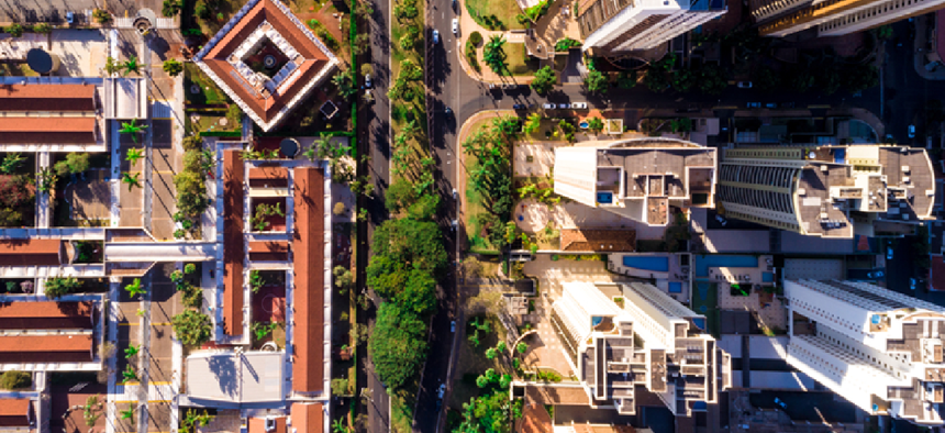
According to Robert Locke, senior VP of government solutions, the company uses a proprietary five-camera system installed in fixed-wing aircraft to take high-resolution images of the entirety of the United States and Canada. The expected straight-down orthogonal images are easily integrated into map grids and geocoded. In addition, the four other cameras cover the same territory with 360 degrees of images taken at 40-45 degree angles. “That’s what delivers the high-res 3D look,” Locke said.
According to the company, the technology has been used by first responders to get detailed information about a location before arriving on the scene -- information that can be especially helpful if operations are conducted at night when many features and hazards may not be apparent. In addition, the imagery is detailed enough that responders can assess how many floors buildings have and where access points are.
“Public safety agencies that have access to the imagery ... can take a look without having to send people in the field,” said Locke. “They can take a look at the area and get the lay of the land.”
Pictometry was used by security officials in Nevada to plan for VIP visits following last year’s mass shooting in Las Vegas, he added. Other users include tax assessors, planning and zoning departments and insurance companies.
EagleView is working to further enhance both the resolution of the imagery and the associated analytics. Pictometry users can already compare two sets of images from different times to identify changes, but now the company aims to employ machine learning to automate the processes of feature identification and change detection.
“One of our biggest initiatives right now is a machine learning project that is allowing us to extract all kinds of data from the vast image library that we've collected over the years,” Locke said. That library already has more than 400 million images, he added.
The company also plans to offer imagery with ultra-high resolution. While each pixel in the current images covers 3 inches of ground surface, in the next generation each pixel will cover less than 1 inch.
EagleView is also turning to new technologies to allow on-the-spot collection of fresh imagery. “We have primarily used fixed-wing, manned aircraft,” Locke said, but unmanned aerial systems "can quickly get to the scene of an incident or a property that needs to be looked at and can give us quickly some drone imagery with very high resolution.”
Editor's note: This story was updated Oct. 17.
NEXT STORY: RPA sees real deployment, but lacks standards


