Measuring Bike and Pedestrian Traffic to Make Better Roads

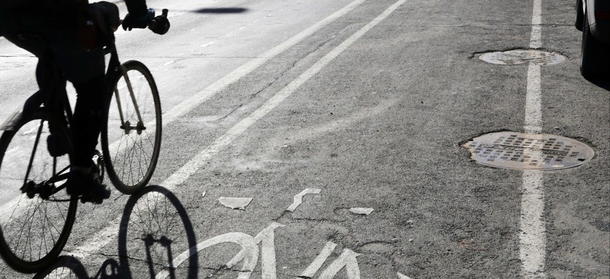
A bicyclist rides in the bike lane on Jan. 27, 2017 in Minneapolis. AP Photo
Once collected, this data could end up capturing patterns that planners hadn’t anticipate.
The ability to track how bicyclists and pedestrians interact with others on city roads has long been on transportation planners' wishlists, but it isn’t an easily obtainable set of data.
Mobility analytics company StreetLight Data on Monday debuted industry-first bicycle and pedestrian traffic metrics that the California Department of Transportation is already using to study active transportation around state buildings.
StreetLight Data’s working group, the Multimodal Measurement Initiative, developed the analytics to better visualize transportation interactions with the idea that this information will help guide infrastructure investments.
Caltrans, the state agency, wants to use StreetLight Insight Multi Mode to ensure “state-owned facilities don’t act as moats” to such travel, CEO Laura Schewel told Route Fifty. For instance, if pedestrians require a crosswalk local government can’t afford on a state-owned road, Caltrans could potentially help fund a solution.
“What doesn’t get measured, doesn’t get managed,” Schewel said.
Insight Multi Mode shows where bikes and pedestrians are coming from or going, where congestion occurs, and how active transportation accidents relate to traffic rates. Two bike crashes on a road only five bikes travel means something different than on a road with 500 regular riders, Schewel said.
Transportation planners can use the platform to justify a push for more bike paths or light-up crosswalks or determine if a new transit hub is encouraging more people to walk.
The data comes from the phones that most people are carrying while biking or walking. The company worked with the National Renewable Energy Laboratory and its partners to acquire mobile GPS data. Using machine-learning, the platform has been taught to distinguish between modes of travel based on the location of mobile devices as they ping cell towers.
Users can also select neighborhoods or a stretch of road and look at pedestrian and rider demographics and average travel times. If a large number of bikers are using a particular route, that would be “naturally the best bike path,” Schewel said.
Multi Mode sometimes finds things planners wouldn’t expect, like people driving short distances on a busy road because there’s no crosswalk or driving long distances to shop for groceries because the local supermarket is too expensive for a low-income neighborhood.
“We can start to challenge our assumptions and see where they’re not true or true,” Schewel said.
Dave Nyczepir is a News Editor at Route Fifty and is based in Washington, D.C.
NEXT STORY: 40 Startups to Work With 22 Governments on Civic Tech Challenges


