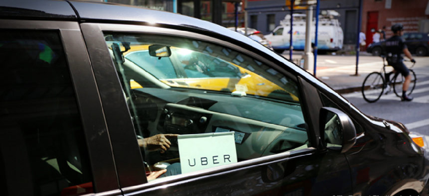
Uber launches tool to track traffic speeds

The new Uber Movement Speeds provides street-level traffic in hourly increments for New York, Seattle and Cincinnati, London and Nairobi.
Three U.S. cities will get access to street-level traffic speed data from Uber.
The company's Movement platform launched in 2017 with aggregated, anonymized data on traffic data and speeds in select cites. The new Uber Movement Speeds provides street-level traffic in hourly increments for New York, Seattle and Cincinnati. It gives transportation planners access to historical speed data on roadways so they can assess the impact of infrastructure investments, parking restrictions during rush hours or traffic calming measures, for example.
Users can filter data to view actual observed speed averages during specific date-time ranges, day of the week and time of day. A color bar can be adjusted to show segments with speeds that fall within a specific range so users can analyze speeds data more granularly. Clicking on a street segment will trigger pop-up charts that show average speed trends and when speed averages deviate from normal. Users can also download historical data.
The Uber Movement Speeds data is compatible with SharedStreets’ global referencing system so jurisdictions, companies and governments can use the Speeds data in their own workflows.
The Ohio-Kentucky-Indiana Regional Council of Governments, the Cincinnati region's transportation planning organization, is using Uber Movement Speed data to analyze traffic speeds, segment by segment, throughout the business district by hour of the day and direction of traffic in a pilot project to slow traffic and increase safety for pedestrians.
In Seattle, Movement Speeds data can help investigate the “domino effect” of accidents on traffic speeds to determine which areas are most severely affected and optimize responses and traffic re-routing in the future.
According to Uber, the data is also being used to validate urban simulation modeling at the Smart Cities Institute of Transportation Studies at the University of California Berkeley. “With Uber travel time and speed data, we’ve had the invaluable opportunity to capture the real-world dynamics, which informs our computational models and validates our findings," Executive Director Jane Macfarlane said. "Our long term vision is to provide next-generation transportation planning and control capabilities for optimizing the movement of goods and people and improving the quality of life in our cities."
Besides the three U.S. cities, the speed data is also available for London and Nairobi.
NEXT STORY: Rhode Island launches cyber crime hotline


