California launches statewide earthquake early warnings

The California Earthquake Early Warning System sends alerts via two delivery systems: a smartphone app and government's Integrated Public Alert and Warning System typically used to deliver AMBER and weather alerts to cell phones.
California residents may now get a few extra seconds of warning before the next earthquake thanks to the statewide California Earthquake Early Warning System.
The system sends alerts via the University of California Berkeley’s MyShake smartphone app and through the federal government's Integrated Public Alert and Warning System, which is used to deliver AMBER and weather alerts to cell phones via the Wireless Emergency Alerts (WEA) system operated by cellular companies.
California's new system is powered by ShakeAlert, a long-time project of the U.S. Geological Survey that taps ground motion sensors across the state to detect earthquakes before humans can feel them. It calculates preliminary magnitudes and then estimates how strong the earthquake will be at a user’s location to help cities, transit systems, utilities, police departments and fire stations prepare.
ShakeAlerts will be sent through WEA to Californians who could experience potentially damaging shaking from magnitude 5 or greater quakes, USGS officials said. The UC Berkeley-developed MyShake app will also send alerts from ShakeAlert to people who could feel shaking due to magnitude 4.5 or greater earthquakes, provided users allow the app to access their location. MyShake will also send information back information to UC Berkeley about local shaking intensity, gathered by the accelerometers built into users' cellphones.
MyShake was originally designed to crowdsource shaking data from cellphone sensors, according to Richard Allen, director of the Berkeley Seismological Laboratory. The idea was to leverage the millions of cellphones used in California as a dense sensor network and apply machine learning to convert the crowdsourced ground-shaking data into early warnings that would augment the existing ShakeAlert system.
“By having many more people with this app on their phones, we are going to get more data, and that, over time, could make ShakeAlert better, as well,” Allen said.
As the seismic network is expanded and the ShakeAlert system's modes for communicating the alerts are further advanced and tested, the speed, reliability and public use of ShakeAlerts will also increase.
“USGS and its partners are making considerable progress with the build-out of the sensor network that underpins ShakeAlert,” said David Applegate, USGS associate director for natural hazards. “More than half of the 1,675 sensors needed to complete the West Coast system as designed have been installed and are operating, with the emphasis so far on installations near population centers.”
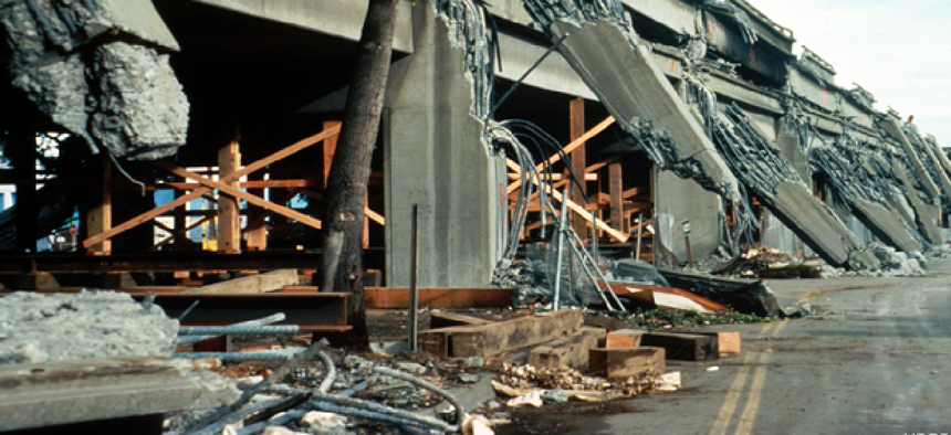
The Oct. 17 launch of the system falls on the 30th anniversary of the Loma Prieta earthquake in the Bay Area and the annual Great ShakeOut earthquake drill that will prepare nearly 66 million people worldwide -- including an estimated 9.5 million Californians -- in earthquake safety and response.


