Sensors Show How Rising Seas are Inundating One City’s Stormwater System

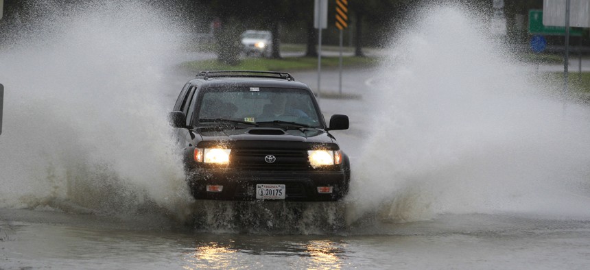
A car plows through a flooded street in the Ocean View area in Norfolk, VA., Sunday, Oct. 28, 2012. AP Photo/Steve Helber
Norfolk, Virginia found tidal backflows reduced stormwater capacity by about half in some areas.
Like many low-lying coastal areas, flooding is a growing concern for Norfolk, Virginia.
But the danger doesn’t just come from coastal waters or rivers. Often, it’s storm drain systems that pose a problem.
To better understand how tides and sea level rise are affecting the city’s stormwater management capacity, Norfolk installed a series of sensors last year in pipes in flood-prone parts of the city. The 25 sensors measure storm water levels and the amount of tidal backflow in the system. Data collected from those sensors now shows that tidal waters, boosted by rising sea levels, have reduced stormwater capacity by half in some locations, said Kyle Spencer, the deputy resilience officer with the city of Norfolk.
“We can move stormwater through the system at 50% of the capacity it was designed for,” he said.
The reduced capacity of the city’s stormwater system, combined with an increase in rainfall, creates a difficult infrastructure challenge.
“When you add those two things together, it’s almost like you can’t win against the flooding,” Spencer said.
The sensors, made by the company StormSensor, track the rate and volume of stormwater flow by taking measurements every 10 minutes and wirelessly transmitting the data. Neighboring jurisdictions have deployed similar technology in the past to track water levels at rivers, bays and inlets across the Hampton Roads region.
Norfolk officials plan to use the data collected from the sensors to inform and test the effectiveness of future flood mitigation plans.
If the city installed backflow preventers, to block tidal waters from entering stormwater systems, the sensors could be used to test how well they reduce existing water levels, Spencer said.
The two neighborhoods where StormSensor devices are currently deployed—the Tidewater Gardens public housing complex and St. Paul’s—are both slated for major redevelopment in coming years. As the city redevelops these areas, it plans to handle stormwater systems much differently—creating more open green space to absorb rainfall, and building larger stormwater drainage systems and pump stations. Spencer said the sensors could also be used to track how well those efforts work.
In the short-term, the sensors can be used as an alert system to provide advance warning of flooding so the city could begin closing streets or direct people to move their vehicles from roadways that are likely to flood, Spencer said.
The StormSensor project was funded by RISE, a Norfolk non-profit business accelerator that helps bring to market innovative projects that address climate change. The city has contributed the time of employees to help plan for and implement the project, Spencer said. If Norfolk expands the project to other areas, it would have to pay for the cost of additional sensors, he said.
By piloting its tidal alert system in Norfolk, StormSensor hopes to better understand stormwater management in coastal communities and to make its products available to other cities facing similar problems.
“As part of our goal to democratize water data, we want to make analysis of this complex stormwater-tidal interaction to be easy to understand, scalable, and deployable in any city, regardless of location or setting,” wrote Steven Cai, a stormwater scientist in a blog post detailing the project.
While installing the sensors, the company learned an important lesson and realized workers would have just a few hours before and after low tides to work in the stormwater pipes.
Spencer said he can see the data being useful to cities up and down the eastern seaboard that are trying to manage rising sea levels.
“If you can figure out Norfolk, it is so replicable,” he said.
Andrea Noble is a staff correspondent with Route Fifty.
NEXT STORY: Hiring data shows a better way to fill jobs


