The missing ingredient to curbside management

A unified curb data standard will revolutionize curb data management and enhance the value of a digital curb layer.
Municipalities are increasingly realizing the benefits of understanding and managing their curbs. But most cities are missing a key component to modernize their curbside management practices -- the curb regulation data itself.
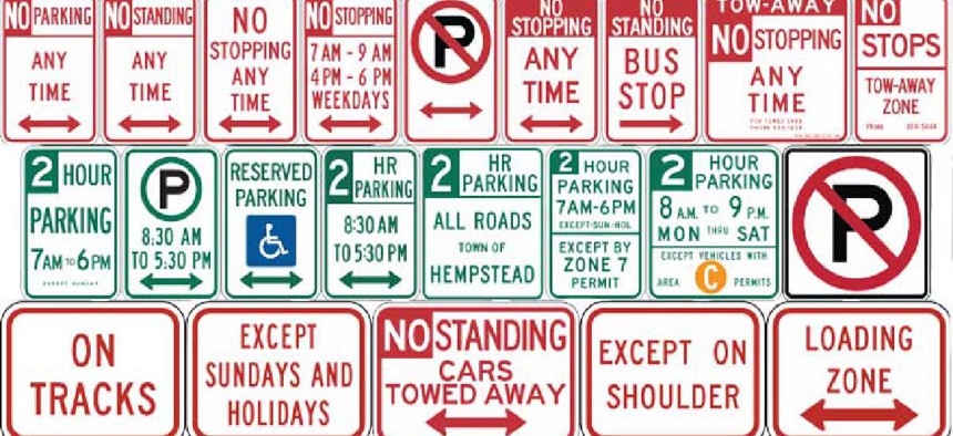
Go to almost any city council in North America and ask for a dataset of their parking regulations and traffic signs. Chances are, they won’t have it. Cities need this data to make smarter decisions about their curbs and the regulations that shape them. Fortunately, data collection methods and regulation standards are being developed to make curb data more accessible and useful to cities.
In general, cities make changes to the curb policies on a case-by-case basis without any digital record. Some cities have sufficient documentation in the form of Excel sheets, PDFs, etc. to digitize their curbs, but this is not the case for the vast majority of cities. To get this data, cities must venture into the field.
Right now, this means walking every city block and documenting the precise location and content of each sign and asset. The process is slow and tedious, but it ensures a high degree of accuracy, both in terms of location and content.
The spread of high-quality street-level imagery over the last five years has put a more automated curb surveying process within reach.
Some emerging companies provide platforms and tools to capture street images, identify curb assets and triangulate their locations in space. These platforms and their datasets are a rich resource for cities and developers looking to efficiently digitize their curbs at scale. Some products, such as CurbIQ, then take this data a step further by using street imagery to generate curbside regulations.
Using street imagery has its drawbacks: Asset geolocation by triangulation is not as precise as surveying by foot. Also, several surveys are needed at different times to ensure all signage is captured, especially in busy areas. For this reason, a blend of mobile and by-foot mapping tends to provide the best results.
Once a city collects curb data, the next question is how to store it. Until a few years ago, curb data was the wild west: No standards, no rules. Recently, though, a small handful of competing curb data standards have begun to emerge.
Like public transit’s General Transit Feed Specification before it, a unified curb data standard will revolutionize curb data management and enhance the value of a digital curb layer. Viewing and analyzing data from different districts and cities will become much easier for municipal staff and mobility companies. Additionally, a single standard opens the door for third-party developers to build open-source tools to create, manage, analyze and share curb data.
Compared to other geo-referenced data, curbside regulations present some unique challenges to digitization. They are not unitary physical assets with a single latitude and longitude, nor are they line segments consistent along city blocks like speed limit data. There can be several regulations of varying priority on a given street segment that can range in length from a few yards to an entire street.
For example, a street block may have paid parking all day, but have no-stopping restrictions during rush hour, a loading zone for morning deliveries and some curb cuts and hydrants where parking is prohibited. Simply using a set of coordinates or road ID is not sufficient for accurately locating these curb regulations.
One solution to this problem is linear referencing (LR), a method of storing geo-based data by using its relative location along a linear segment. Describing the location of parking regulations (i.e., set of signs) by how far they sit along a block, then stacking these regulations based on priority, provides a consistent labelling method regardless of the base map, dataset or city.

An example of how curbside sign assets can be converted into regulation segments with varying priority.
SharedStreets, a global non-profit organization focused on promoting open source digital infrastructure and governance frameworks, has translated this LR method into an elegant open data curb specification called CurbLR. The specification uses a unique ID for each street block and start and end distance attributes to uniquely define each regulation. This spec is easy to implement, simple to read and effective at comprehensively describing curb assets, making it an effective LR standard.
With widespread, standardized curb datasets, the opportunities for smart curb management are vast; a full curb dataset could empower cities to share live parking data with their citizens, price parking more equitably, manage micro-mobility vehicle fleets like e-bikes and e-scooters or design better rules for transit services like Uber and Lyft.
Once they have the data, cities can update curbside regulations and assets digitally as they change on the road, using curb data editing tools like CurbIQ’s Curb Manager. But cities need to collect the data first.
With the work from non-profit organizations like SharedStreets, the growth of high-quality street images and curb digitization platforms, this once-tedious task is faster, cheaper and easier than ever before. Scalable curb digitization is here. Let’s get mapping!


