75 new National Geospatial Data Assets available on ArcGIS


Connecting state and local government leaders
More than 75 new high-priority national geospatial datasets will be available on ESRI’s web platform, helping agencies improve infrastructure development and disaster response.
Government GIS users now have access to several new high-priority, high-demand National Geospatial Data Assets, Esri announced at its annual User’s Conference.
This NGDA collection consists of cartographic boundary files and demographic data from the Census Bureau, the Department of Agriculture’s National Agriculture Imagery Program and the National Inventory of Dams database, which is managed by the Army Corps of Engineers.
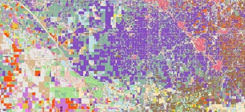
The federal maps, which are updated regularly, can be accessed through Esri’s ArcGIS Online. They feature more than 75 national geospatial datasets of dams, bridges, federal public lands, runways, rail nodes and other geographic features.
The datasets will also be available as both Esri REST services and Open Geospatial Consortium application programming interface features. Esri said it will also be releasing the NGDA datasets through a custom explorer app.
The wider availability of these datasets will improve access for state and local agencies working in infrastructure development and disaster response, Esri officials said.
"When our data reaches thousands or millions of people -- to help them decide where to live, buy property, go to school, or start a business -- our impact can scale to a point where it moves the dial of our economy,” said Frank Winters, president of the National States Geographic Information Council and executive director of the New York State Geospatial Advisory Council. “Removing barriers to high-quality spatial data, time and again, results in people using data in ways I could never predict, making interesting and meaningful contributions to their communities."
At its annual conference Esri also awarded the U.S. Geological Survey’s Geospatial Information Response Team a special achievement award. GIRT provided effective coordination, communication, dissemination and visualization of geospatial data and information during Hurricane Dorian, the category 5 hurricane that skirted the Atlantic coast in late August 2019. GIRT’s Dorian event support map incorporated data from USGS stream gages as well as the hurricane’s observed track and forecast position into the bureau’s base map, providing USGS managers with situational awareness that helped them manage bureau resources during the event, government officials said.


