Transit agencies can test drive work-zone data service

Agencies can apply for a free three-month license to Nexar’s CityStream service that delivers crowdsourced dashcam data for insights into how work zones affect traffic and safety.
State and local transportation departments and transit agencies can apply for three months’ of free access to Nexar’s CityStream service that will give them crowdsourced dashcam data on the real-time status of roadway work zones.
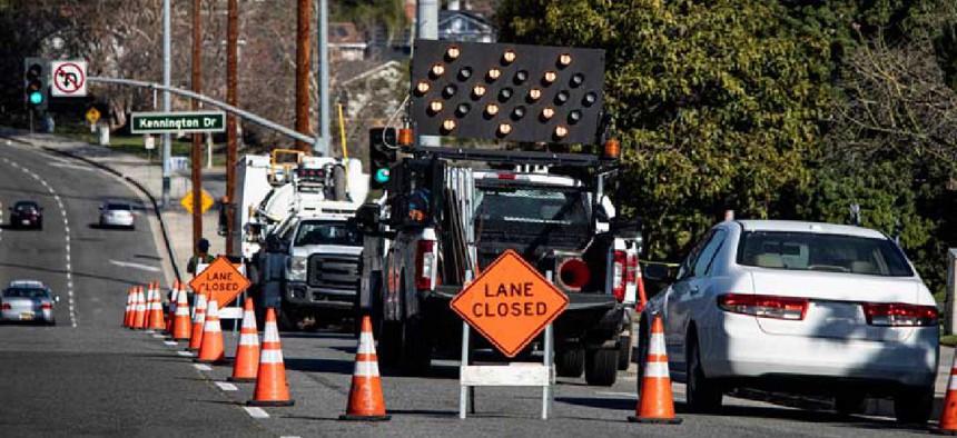
With President Joe Biden’s $3 trillion infrastructure plan promising to fix 20,000 miles of roads and 10,000 bridges across the country, work zone congestion and safety challenges are expected to sharply increase. CityStream’s artificial intelligence-based service compiles and anonymizes images from the company’s network of consumer dashcams to detect, map and analyze the state of work zones in real time.
Nexar’s dataset of 3.2 trillion images and data collected from vehicles as they travel 130 million miles every month can provide important insights to transit agencies, as work zone conditions are frequently not reported to mapping services. Areas that have a higher density of dashcam-equipped vehicles will deliver more accurate readings.
With reports showing an increase in deaths per mile traveled during the first half of 2020 in the U.S., even during lockdown, the dashcam data will help officials “eliminate the danger of open trenches, the close proximity of pedestrians to roadways, or immovable objects on the road,” Nexar officials said.
Applying AI to the images, the technology can automatically detect barricade elements in work zones, and those images are aggregated, localized and mapped into CityStream. Transportation officials can monitor the state of all work zones online, in real time, reducing the need to send inspectors to the site, even as traffic patterns have changed as a result of the pandemic.
With CityStream, transit officials can even "’go back in time’ and check work zone setups on-demand instead of being supported by old data or out-of-date plans,” Nexar CEO Eran Shir said. “Using Nexar's data to address this issue means benefiting workers on the road, governmental decision makers and the community itself."
Agency users can access images and metadata through a web interface, application programming interface, software as a service or via ArcGIS.
U.S. transit agencies, cities and DoTs can apply to Nexar’s program here.
NEXT STORY: IG council scouting for data analytics tools


