App helps responders build real-time flood inundation maps


Connecting state and local government leaders
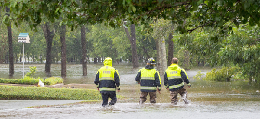
When responders drop geolocation pins along flood boundaries, Pin2Flood shows them the roads and homes likely to be impacted.
Researchers at the University of Texas at Austin have developed a tool to help emergency responders gauge the extents of flood waters are before they wade in.
The web-based app and online database, called Pin2Flood, allows an on-scene responder to create a flood map by dropping geolocation pins along impacted addresses and roadways – essentially drawing the boundaries of the flood in real-time for other responders’ reference.
Lidar data from plane surveys, along with terrain attributes and existing flood maps, provide the baseline streambed elevation. That information makes it possible -- with computer modeling – for Pin2Flood to determine the spread of the flood water from the dropped pins. The data is analyzed, mapped and sent to responders’ phones within minutes, allowing them to see what roads and homes are likely to be impacted. Emergency managers can export the data for damage assessments.
"We filter the data. We compute various attributes of the terrain, then we trace the water channels,” UT-Austin Professor of Civil Architecture and Environmental Engineering Paola Passalacqua told Austin’s KUT radio. “Once we have that, we take that logical prediction and then transform that into a depth and get to a flood inundation map.”
To get the most accurate flood inundation data, Pin2Flood uses a mapping metric called height above nearest drainage. HAND measures the elevation contours based on the normal stream bed elevation. When a responder drops a pin marking the edge of floodwaters, the system looks up the closest HAND contour at that location and provides a topographic map of water coverage at one-foot depth increments.
David Maidment, a professor of hydrology at UT’s Center for Water and the Environment, first came up with the idea for Pin2Flood after learning that firefighters use rocks to mark flood boundaries. While admitting the simplicity of the concept, Maidment noted that the most challenging aspect was converting the information for the web and updating the library of maps in real time.
Passalacqua touched on another long-term complication – ensuring that the baseline maps stand the test of time.
Due to climate change, frequent flooding and shifts in the landscape, today’s lidar maps could be rendered less useful over longer periods. “In a dream world, every time you have a [flood] event, you would fly a [lidar surveying plane] again and then see how the landscape has changed as a function of that event,” she said.
Pin2Flood is already being tested by first responders in Texas and was recently awarded a $1.6 million grant to continue development over the next two years. To refine the product even further, the researchers are teaming up with the National Weather Service to compare Pin2Flood’s maps with NWS’ predictions.


