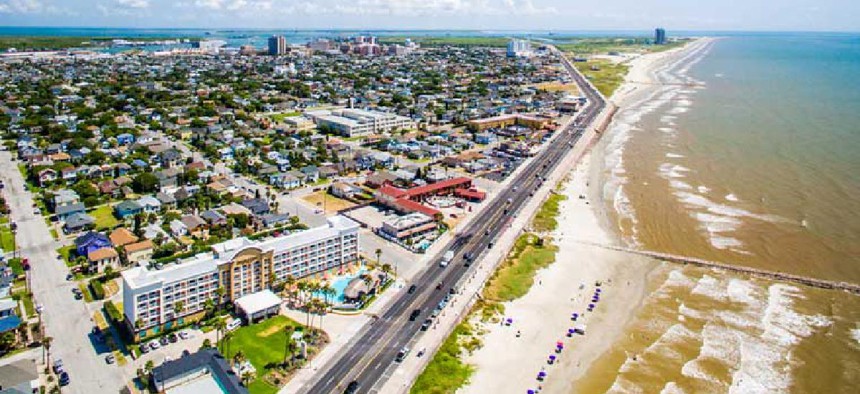
Digital twin of Texas coastline informs flood resilience

The project aims to better inform infrastructure planning decisions for Galveston Island and the Texas coastline.
To protect Galveston Island and other parts of the Texas Gulf Coast from the impact of severe storms and coastal flooding, a team of researchers at Texas A&M University are developing a comprehensive digital twin to evaluate, model and test resilience scenarios.
Coastal communities are more susceptible to natural disasters than ever before, due to rising sea levels and the threat of climate change. To boost resilience, federal, state and local agencies have been looking to develop more sustainable infrastructure along these shores.
With resilient design becoming a top priority, more planners are looking to digital twins, or virtual models, which can be updated with real-time data. The research, funded by a two-year, $300,000 National Science Foundation grant, was launched with similar motivations, project lead and Texas A&M Associate Professor of Urban Planning Xinyue Ye said.
“A digital twin of Galveston is something that planners and citizens can use to better understand how planning and infrastructure alterations and additions can positively or negatively affect a community’s natural hazard resilience,” he told Texas A&M Today.
The project will integrate physical, cyber and social infrastructure data into an analytics platform that will allow for the collection and sharing of data, engagement from communities and promotion of a human-centered approach for infrastructure planning. It will pull data from a number of disciplines, including geography, urban planning, landscape architecture, computer science, construction science, and marine science.
The digital twins will enable planners and policymakers to model and test different resilience scenarios. This project can have a huge upside, Ye said, because the team will be able to create simulations of hazard events under different policy or response protocols to determine the best science-based measures for the future.
“It’s a visualized operating procedure that local residents and decision-makers can use to better understand the effects on hazard planning of the relationships among different planning efforts, disaster management, new construction, and infrastructure additions, repair, rehabilitation, retrofitting and maintenance,” Ye said.
“More informed decisions and better inter-agency coordination may lower the costs of the coastal resilience protective system,” Ye said. “This decision/support framework will also act as a catalyst for further research in data-driven decision making by connecting different datasets and by providing training and collaborative research opportunities for local project participants as well as graduate and undergraduate students.”
NEXT STORY: West Virginia maps out broadband investment plan


