Virginia releases data-driven coastal resiliency plan

The commonwealth’s Coastal Resiliency Master Plan includes a publicly available database and web explorer designed to identify gaps in flood protection and adaptation capacity.
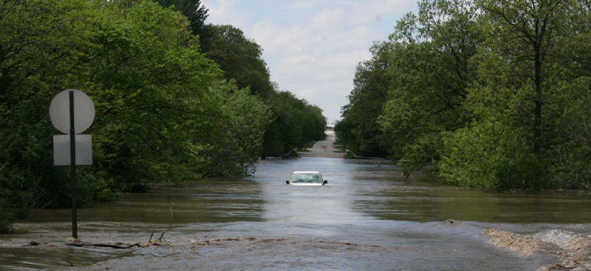
To protect Virginia’s coastal areas from rising sea levels and the increased threat of storm flooding, Gov. Ralph Northam announced the Commonwealth’s Coastal Resiliency Master Plan, which includes a publicly available database and web explorer.
While the plan describes and identifies local projects working to make Virginia more resilient in the near term, “there are many areas of identified risk for which neither short nor long term solutions currently exist,” Northam wrote in an accompanying letter. “For that reason, perhaps the most important information provided by this initial Master Plan is the identification of the broad gaps in flood protection and adaptation capacity and coverage all along our coastline, as well as the need for additional data and analysis to further refine our understanding of the impacts of climate change.”
The Coastal Resiliency Database and Web Explorer can help surface those gaps.
Using a combination of existing data, research and predictive technology, the database and interactive maps provide data on coastal flood hazards, impacts (such as loss of structures or agricultural lands) and social vulnerability of residents. The predictive data ranges from 2020 through 2080, and details on over 500 current and proposed resilience projects are also featured as are the funding sources for each project. The database is intended to identify relative priorities for state implementation support and is expected to be a vital tool for supporting resilience efforts at the local, state and regional levels.
Users are presented with a series of ArcGIS maps of Virginia’s coastal region that shows:.
- Hazards: Interactive maps and data illustrate how sea level rise can affect tidal and coastal storm surge flooding over time.
- Impacts: Maps intended to identify current and emerging risk hotspots show projected exposure and loss to the population and physical assets such as commercial, educational, industrial and residential structures through 2080. Data on exposure to critical infrastructure such as government and defense facilities, energy and water utilities, transportation networks and communications is also available, as are details on impact to natural infrastructure, such as tidal habitat and beaches and dunes.
- Community context: Based on the Census Bureau’s 2018 American Community Survey, the explorer’s maps and data delivers social vulnerability metrics including economic status, household composition, disability and race. This section provides context for understanding how the increasing coastal hazard will impact populations and demographics.
- Projects and initiatives: A sample of the resilience project within the Commonwealth can be narrowed down by county or locality, and the map’s layers show potentially compromised communities through 2080. The layers include coastal floodplains, community resource impact areas, critical sector impact areas, natural infrastructure impact areas and coastal hazard and social vulnerability. Each initiative includes a brief description and some metrics that include the current status of the project, problems addressed, implementation cost and a full breakdown of the funding sources.
An Open Data Portal displays coastal flood hazard data and inundation maps from 2020, as well as projections for 2040, 2060 and 2080 from the Virginia Department of Conservation and Recreation. A consolidated list of the analytical and geospatial sources used in the study can be found here.
According to the Master Plan, the commonwealth’s goal is to expand the Coastal Resilience Web Explorer and Database beyond the coastal region, to ensure that all statewide resilience planning needs are addressed.
“The only way we can adapt and maintain our thriving communities is with thoughtful planning, reliance on science, and a willingness to make tough decisions,” Northam said. “This Master Plan will guide decisions by the Commonwealth and our local government partners.”
NEXT STORY: The unrealized promise in COVID apps


