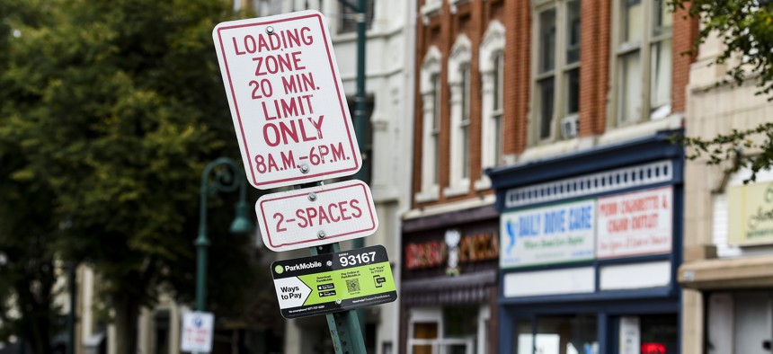
Seattle takes on double parking with curbside data

MediaNews Group/Reading Eagle via Getty Images / Contributor
An open-source specification that shares curbside data on loading zones will help the city reduce congestion and make it easier for delivery drivers to find usable spaces.
Despite having over 5,000 loading zones in Seattle, delivery trucks and other vehicles often still spend time looking for a usable space. If they are unable to find one, it leads to double parking, congestion and the blocking of bike, bus or general travel lanes.
To tackle inefficient use of curb space, Seattle will use open-source data standards to digitally define loading zones and measures their effectiveness.
For a 2020 study conducted in the city’s Belltown neighborhood, Seattle Department of Transportation crews installed in-ground detection sensors in commercial vehicle load zones to collect data on real-time parking occupancy. The sensors use a small magnetometer that identifies when a vehicle occupies the space then uses that data to populate a mobile application developed to inform delivery drivers of available parking locations near destinations.
Seattle's pilot helped inform the Open Mobility Foundation’s (OMF) Curb Data Specification (CDS), a set of protocols that allow data to be exchanged via APIs between cities, curb users and curb data providers about how spaces are currently being used. It allows cities to gain a "better awareness of and insights into how curb spaces are currently being used, and how they could potentially be better used in the future," the Department of Transportation wrote in a blog post.
With CDS, city managers can create a digital representation of curbs zones to optimize commercial loading activities for both people and goods. The digital feed will tell curb users where and when they can park, and how much time they can stay in a particular loading zone. This will help delivery vehicles coordinate schedules more efficiently and give drivers the opportunity to see which spaces are available at any given moment.
CDS is a set of three API protocols to record and measure the activities happening at curbs in real time.
- The Curbs API shares precise curb location and parking and loading regulations information.
- The Events API uses commercial data feeds, sensors, check-ins, and other city sources to provide data on historical and real-time events happening at the curb.
- The Metrics API tracks curb usage details during sessions and calculates how long vehicles are parked, how full the spaces are throughout the day and how many vehicles use the space.
During the pandemic, the demands for urban curb space have changed thanks to a surge in deliveries and an increased need for outdoor space to accommodate dining and other activities, making a data standard the missing ingredient for cities to modernize their curbside management practices. A single standard will open the door for third-party developers to build their own open-source tools, like OMF’s CDS tool.
“Curb space has long been a scarce resource,” OMF Executive Director Angela Giacchetti said in a statement announcing the CDS. “And, while many cities have made progress in their curb management efforts, technology and data offer new tools to proactively manage curbs and support public spaces that better reflect community priorities like safety, environmental sustainability, and local business development.”
Other cities are also benefiting from the standards. Philadelphia’s Office of Transportation, Infrastructure, and Sustainability, which had already used CDS in a dockless bikeshare program in 2019, plans to integrate the data standard into its Smart Loading Zone pilot program slated to begin in March.
Although cities have already begun to use CDS, the standard is still in beta; OMF’s technology council and board of directors will vote before an official version is released. Currently, a release candidate is available for public review and use on GitHub.


