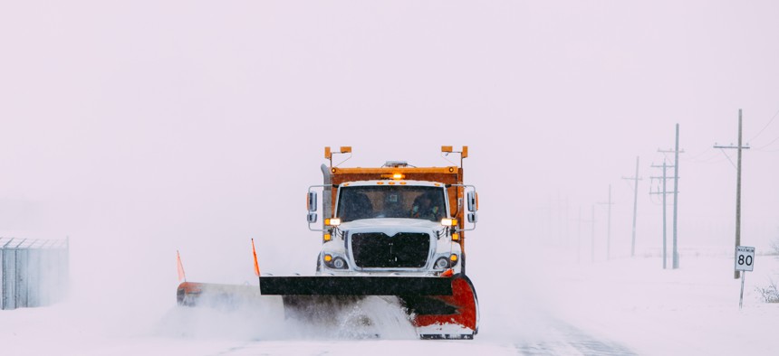
City gains real-time visibility into snow removal operations

GettyImages/Davin G Photography
Residents and public works officials in Syracuse to monitor the progress of snow removal vehicles in real time.
According to the Federal Highway Administration, state and local governments spend over $2.3 billion every year on snow and ice removal. Without accurate and accessible geolocation data, public works departments often have difficulties monitoring the status of snow removal operations.
In Syracuse, N.Y., city administrators can track real-time progress with the Coverage Map from IoT company Samsara. It provides a live view of streets traversed by fleet vehicles and allows officials to create a publicly accessible map residents can check to see if their neighborhood has been plowed yet.
Cellular, artificial intelligence-enabled dash cams installed in fleet vehicles upload video clips and still images to the Samsara cloud where geolocation information on the vehicles is analyzed and presented on a dashboard in real time. Advanced visibility features can automatically detect safety hazards, like double parked vehicles, Syracuse Chief Operating Officer Corey Dunham said.
“We needed a platform that would not only be helpful for internal operations, for the folks who are working for the city and monitoring the storm, but also for transparency towards the public,” Dunham said. “Before this, unless you looked outside and saw that your street had been plowed, there was no other way to tell.”
Now, residents can go on the city website and view a live coverage map during snow events. The map is powered by GIS company Esri, with whom the city already had an existing partnership, Dunham said. The display lets residents know the last time their street has been cleared and the street conditions for the rest of the city, she said, allowing for better planning during inclement weather.
With the Coverage Map, city officials and fleet administrators can see not just the information available to the public, but they can also access additional data on tagged vehicles, date and time ranges and trips. Administrators can even select a group of vehicles and obtain reports on trip history, which roads needed extra effort to clear and how much salt and chemicals are being spread.
In the past, tracking snow removal required crew leaders to go out into the field and report on the progress manually, Syracuse Citywide Director of Fleet Operations Rich Devesty said. Now, “we have 25 plows equipped with this system, and soon the cameras are going in our loaders, sweepers, everything that goes up and down the street every day.”
Dunham and Devesty both said this technology will have future use cases in Syracuse, primarily for other public works operations like trash and recycling pick up.
“Having lived in Syracuse my whole life, snow removal was a tedious process, but to introduce this technology is a great way to explore new things that we can do with [updated city infrastructure],” Dunham said. “We are just starting the conversation about the use of materials, used either by trucks or per snow event, so the next step is to look at the data models and metrics we can build to use this information elsewhere.”


