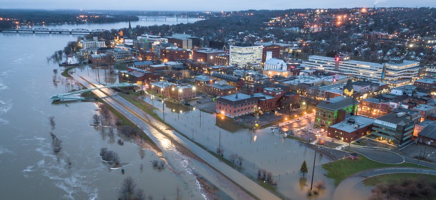
States Must Expand Data Sources for Strategic Flood Resilience

GettyImages/Marc Guitard
Failure to incorporate forward-looking climate data and demographic trends will limit states’ ability to develop effective flood mitigation plans, new research finds.
State and local climate resilience and adaptation efforts fail to sufficiently account for critical factors such as flooding, population growth and social vulnerabilities, new research finds.
In a study conducted by the Urban Institute, researchers analyzed 148 climate resilience plans from all 50 U.S. states and territories to identify shortcomings in local approaches.
Only a handful of states have developed deliberate, strategic flood mitigation plans, researchers said during a March 8 webinar. Rather than conducting regular mitigation plan reviews, most state efforts largely rely on historical data or are a response to disasters. This method fails to incorporate forward-looking climate data and demographic trends, Urban Institute Research Associate Eric Burnstein said.
State resilience plans have not considered population growth projections, Burnstein said – 98% of those surveyed indicated they have not incorporated population growth in their risk models.
Additionally, most state flood mitigation plans are developed in short time frames, leaving inadequate time for intensive scientific modeling or public engagement.
“This is particularly of concern in rapidly growing states like Colorado, where we see rapid growth especially on the urban world frontier and in areas where we may have … different types of flood zones that are either not commonly incorporated into these analyses, such as dam overspill territories.”
However, proactive state efforts do exist; two of the five states chosen by the researchers for a deep dive analysis, Colorado and Iowa, have invested in improving their data capabilities outside of the statewide climate resilience plans, Burnstein said.
“In Colorado, this investment included the development of the Colorado Hazard Mapping Program, which included expanding the LiDAR topographic data available within the state, field surveys of flood infrastructure, advanced hydrology and hydraulic methods to analyze water flow,” Burnstein said. “In Iowa, the Iowa Flood Centers developed extensive and near real-time probabilistic inundation maps of a wide range of flood levels.”
These initiatives, particularly in the case of Colorado, also include models for hazard mapping projects to ensure the data meets the Federal Emergency Management Agency’s standards for future mitigation plans.
In most instances, states’ capabilities are not reflected accurately in their planning documents, researchers found.
To improve their flood mitigation plans and help with ongoing implementation, states should establish a central source for strategic flood planning, incorporate rigorous and accurate data for both flood exposure and social vulnerability and incorporate flood-related objectives into day-to-day operations, the panelists said. Coordination and transparency with local communities was also encouraged.
“We intend to [protect individuals] with planning, regulation and construction, as money allows,” Dave Rosenblatt, former chief resilience officer for New Jersey, said during the webinar. “Municipalities are getting the idea that they too have skin in this game and will have to put aside resources to deal with the impacts.”
NEXT STORY: Getting Rid of Roadkill With a 511 App


