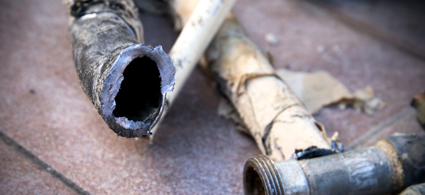
Replacing lead pipes first depends on being able to find them

Gina Pricope / Getty Images
Ohio is helping communities locate, remove and replace toxic lead pipes.
Ohio is investing in capabilities for mapping lead water pipes in communities statewide to prevent lead poisoning.
Ohio Gov. Mike DeWine announced in March that his three-year-old H2Ohio initiative is investing $4 million to locate, remove and replace toxic lead pipes in various communities throughout the state. The state Environmental Protection Agency will distribute spreadsheets to state water systems that will ultimately be used to populate a statewide database of lead pipe locations that may also be used for tracking public water systems’ assets.
The problem with lead line mapping is that when water pipes ware installed, they are buried several feet in the ground. Records of those installations were often on index cards or paper maps, and many public works departments didn’t note what pipe was made of, according to one report. Because some paper records have been lost and information has not been digitized the only way to know for sure if a pipe is lead is to dig it up and check.
The last time the state mapped lead pipes was in 2017, when it became required by Ohio law to provide a map of known publicly owned lead service lines and evaluate lead monitoring points. “Most of the work product received from the water systems were manual (not electronic) including hand-drawn maps,” James Lee, media relations manager for the Ohio Environmental Protection Agency (EPA), said in an email to GCN.
“It’s important to understand that it’s the public water systems themselves that are responsible for locating and reporting to Ohio EPA the location of their respective lead service lines,” he said. “Ohio is anticipating guidance from U.S. EPA on the preferred technologies for determining which customers have lead service lines at the local level. For now, the technology to be used in this effort is at the discretion of the public water system.”
The effort, known as the Lead Service Line Replacement Grant Program, awarded six communities almost $2.2 million to remove and replace pipes that were already mapped and ready for replacement. That work will eliminate almost 500 lead service lines. An additional $1.25 million in H2Ohio funding was used for lead service line replacement projects at childcare facilities in Cincinnati and Cleveland.
In May, DeWine announced approximately $2.1 million in H2Ohio grant assistance to help 48 public water systems with lead line identification and mapping assistance. It also offers mini grants of up to $50,000 each for individual public water systems and $600,000 for the Rural Community Assistance Program and the Ohio Rural Water Association for mapping assistance.
Eligible uses for the new grant funding include hiring workers to manually investigate records that might help guide the lead mapping project at the local level, Lee said.
The database will help Ohio meet the Lead and Copper Rule Improvements regulation, he added. The U.S. EPA issued it in December 2021 to protect communities from exposure to lead in drinking water. The month before, the bipartisan infrastructure bill allocated almost $3 billion toward replacing lead water pipes.
The funding follows studies on the hazards of lead exposure, including brain and kidney damage. Flint, Michigan, made headlines in 2014, when about 99,000 residents were exposed to lead in their drinking water. The state recently launched a digital dashboard for the city of Benton Harbor, where lead contamination was first found in 2018.
This is not Ohio’s first effort to prevent lead in drinking water. In 2000, the U.S. EPA awarded Toledo, Ohio, $200,000 to use artificial intelligence to identify lead pipes.
A “pipe farm” test bed has been constructed on city property. It features a mini-distribution system with a water main and several connecting pipes made of copper, galvanized steel and lead, according to a report in Cleveland.com. At the site, innovators can test if their technology can detect lead pipes without digging them up and inspecting them.
“By giving communities this help to create true and accurate maps of lead lines in their communities, they’ll be better prepared to launch replacement projects of their own,” Ohio EPA Director Laurie Stevenson said in a press release.
Stephanie Kanowitz is a freelance writer based in northern Virginia.


