State Explores Commercial Drone Deliveries via Shared Airways

GettyImages/ Hiroshi Watanabe
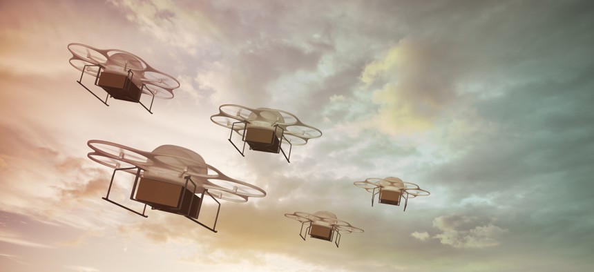
Michigan is investigating the data and networking infrastructure required for commercial drones flying in corridors beyond the operator’s visual line of sight.
In a first-of-its-kind study in North America, Michigan is researching the feasibility of using drones for commercial delivery beyond visual line of sight or what operators can see, with a plan to seek approval for such flights from the Federal Aviation Administration.
The state’s Transportation Department tapped Airspace Link, a provider of data, software and managed services associated with drone flight, to analyze the air traffic and ground infrastructure that would enable flights in shared air mobility corridors. The company will also study the economic and community impacts of BVLOS operations.
“The big thing that we need to do is be able to make the safety case, have the infrastructure ready, to be able to go to the FAA,” said Charlie Tyson, technology activation manager at the Michigan Economic Development Corporation (MEDC), a partner in the effort. “That’s a big task.”
Airspace Link’s AirHub Insights software, data and services will contribute to the risk analysis that the state will use to seek FAA approval. The solution analyzes more than 50 datasets—ncluding Esri GIS data and information from federal, state, local governments and third parties -- to provide actionable information on safety, economic impact and drone reach, said Lisa Peterson, vice president of business development at Airspace Link.
“This Michigan DOT study is all about what will it take to enable these drones to go 20, 30, 40 miles, which they are capable of,” Peterson said. “But because of the current [FAA] rules and regulations and the need to have the visual observation, you can’t do it. Think of this as a digital visual observer that we’re putting together – the ground infrastructure that’s going to help ensure that these drones don’t conflict with manned aviation, that we are sensing where they are at all times, and if there is an event that happens … there’s a safe landing spot along these areas that has been approved for beyond visual line of sight.”
Since January, the study has looked at how drone BVLOS operations could safely happen in three geographic areas. One is southeast Michigan, particularly the highly populated Detroit area.
“We are trying to look at how we can layer highways in the sky, if you will, above the ground-based autonomous vehicle corridor being developed by Cavnue between Detroit and Ann Arbor,” Tyson said. The corridor project started in 2020 to test the viability of a 40-mile driverless vehicle roadway.
The BVLOS study supports the state’s sustainability goals. “We think that with electric, small aircraft it can actually help reduce carbon emissions of moving goods on ground-based trucks and freight,” he said. “It’s important for us to think about how these can positively impact communities and not cause noise pollution or a hindrance to communities.”
The second study area is international deliveries across the state’s border with Ontario, Canada, and the third targets rural and tribal regions in the northwest where residents might struggle to access vital goods, especially in the winter.
“The outcome of this study would be a report outlining the air corridors in those spaces and what infrastructure would be needed to establish them … and what the economic benefit would be,” said Corey Whittington, director of business development at Airspace Link.
The data will also inform route plans, Peterson added. “The state of Michigan is also going to learn by working side-by-side with us as we turn out some initial drone operations,” she said. For instance, last month, the company worked with MissionGO, a drone developer, to determine the best way to deliver medical supplies using a mile-long stretch of railroad tracks between two sites belonging to a local health system.
Airspace Link is an authorized provider of the Low Altitude Authorization Notification Capability (LLANC), a collaboration between FAA and industry that supports the integration of unmanned aerial systems into the airspace. LAANC, pronounced “Lance,” gives drone pilots access to controlled airspace at or below 400 feet and awareness of where they can fly. It also provides air traffic professionals with visibility into where and when drones are operating.
“We basically digitize the skies with our mapping capabilities, and then we also are able to authorize flights in controlled airspace,” Peterson said. “What we’re doing in our system is providing the rules and regulations to unmanned aircraft system pilots—aka drone pilots—on how to navigate the airspace safely and compliantly. Just like on the roads you have street center lines and speed limits and rules you have to follow as a driver, there are rules that drone operators have to follow in the airspace.”
The research is already showing promise. “We have learned that this is very attractive and very interesting for industry,” Tyson said. “We’ve seen a significant influx of tech companies—small and large startups, even large logistics providers [and] some of the big names—reaching out to us and [the Michigan Aeronautics Commission (MAC)] about how they would leverage these corridors and how they can get involved and what type of use cases they would have.”
Another promising area is the use of the state’s many regional airports for drone operations—“looking at how takeoff and landing locations and logistics hubs for drones can be aligned with airports or at airports,” Tyson said. Michigan’s aviation system already contributes more than $22 billion to the state economy each year, according to MDEC.
In addition to MAC and MDEC, MDOT is working with the Michigan Office of Future Mobility and Electrification and the Ontario Vehicle Innovation Network.
“This model and these corridors that are being developed, we hope to be able to then scale to other parts throughout Michigan,” Tyson said.
Stephanie Kanowitz is a freelance writer based in northern Virginia.
NEXT STORY: Citizen scientists, Latino residents to track air quality in East Las Vegas


