State Gathers Data to Map Internet Coverage, Performance

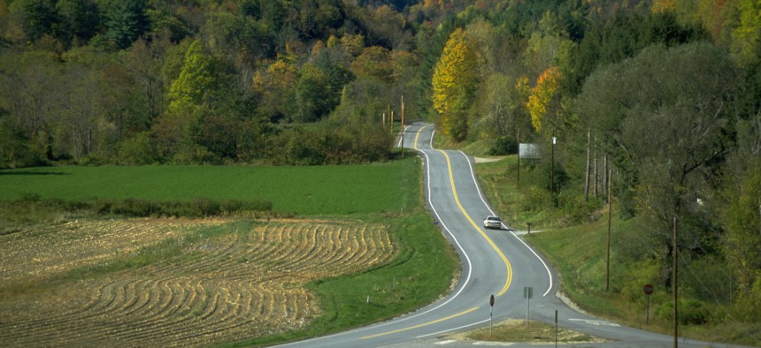
Scenic Route 100 near Storkridge, Vermont. Joseph Sohm via Getty Images
To improve broadband mapping accuracy, Vermont state workers will be testing the wireless network along state highways. Residents can supplement that data with their own test results.
Staff at the Vermont Agency of Transportation will be driving more than 6,500 miles of state-maintained highways to measure the availability and performance of mobile wireless coverage.
The Department of Public Service, which manages state's energy and telecommunications needs, is partnering with VTrans and Ookla, a broadband intelligence firm, to get data on mobile wireless network coverage and performance throughout the state.
VTrans staff will be using the company’s handset-based testing and monitoring solution, Ookla Wind, and its Speedtest app, to check the performance of internet connections. Drivers will be carrying handsets supplied by the six facilities-based providers operating in Vermont: AT&T, FirstNet, T-Mobile, US Cellular, Verizon, and VTel Wireless. The devices will be configured to continuously conduct internet tests and voice calls using Ookla’s app as the driver navigates the road.
Because state workers can’t drive over all the state’s roads, officials are asking residents to use the app on their own devices to test service quality in their neighborhoods. Residents can download the Speedtest app and run tests with details such as date, time, and location—allowing them to report how their wireless carrier’s network is performing over time.
The Speedtest app used by VTrans staff has been configured to allow for autonomous operation in a moving vehicle without the driver's attention, officials said. The consumer app does not have this feature, so residents are advised not to run tests while driving, but rather take readings where they live, work and spend their free time.
Ookla will combine the results of all consumer mobile wireless tests conducted with the results of the VTrans drive tests.
Residents who are unable to conduct their own tests in areas not on the drive test route map that they suspect have limited internet access can email DPS with test site suggestions.
Access and speed test results will be posted on the state website so residents can determine the best available provider in their area. They will also be submitted to internet service providers who will use them to guide deployment of new sites. All the collected data will be submitted to the Federal Communications Commission to support challenges to ISP coverage claims, state officials said.
“We all know that there are many areas of the state that lack service,” DPS Commissioner June Tierney said. “The drive tests will help to identify those areas so we can prioritize them for new coverage.”


