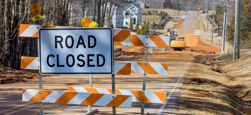
States speed traffic data to drivers

Valentyn Semenov / EyeEm via Getty Images
Two-way data exchanges with Waze are improving highway safety and enabling faster reopenings after road closures.
States are partnering with Waze, Google’s crowdsourced navigation app, to improve real-time road and highway information to drivers.
Through two-way data exchanges that let state traffic management systems provide data to and get data from Waze, states are aiming to improve road safety and speed reopenings in the case of closures.
For example, Waze is the primary source for receiving crowdsourced data in the Pennsylvania Turnpike’s Traffic Operations Center (TOC), Todd Smith, manager of turnpike’s TOC, said during a Sept. 21 webinar sponsored by the Federal Highway Administration (FHWA) and hosted by the National Operations Center of Excellence.
Public users of Waze can use the app to indicate a problem on the roadway: a car in the shoulder, an accident, debris in a lane. Through an API connection to Waze, TOC workers can see all such reports on a dashboard. Through its Advanced Traffic Management System, TOC supervisors can zoom into where the reported incident is located on a Google Map. If the map also indicates traffic slowdowns – Google color codes those as yellow for slow and red for stopped – officials know there’s something worth dispatching police or a maintenance unit to investigate.
“A lot of these do come in before we get the emergency call from … a county 911 center,” Smith said. “The average is basically four minutes ahead of those calls. We have seen as high as 11 minutes in some rural areas.”
What’s more, TOC staff can post a message about the hold-up to its Dynamic Message Signs to alert drivers approaching the affected area, and they can manually enter it into a computer-aided dispatch (CAD) system.
In the future, Smith said, he’d like to have a direct integration between Waze and the CAD so that the TOC can generate alerts automatically.
When road or lane closures are necessary, TOC managers enter them manually into the Waze Map Editor (WME). “We can go in there [and] close down a segment of roadway,” Smith said. That will automatically reroute drivers using the app.
A downside to this is that managers must include an estimated end time for the closure in the editor. Google ingests that but doesn’t change the end time if the road opens sooner than expected, Smith said.
Updating Google Maps is a goal for Denise Markow, Transportation Systems Management and Operations program director for the Eastern Transportation Coalition, too. She and her team approached Google with a technical memo signed by executives at the coalition’s 18 state transportation agency members to get approval for authoritative sources to remove incorrect road closures.
“We call it the Google Escape Pod,” Markow said. “We would like to have Google select or confirm that we have authoritative sources within each of our agencies who can go on to a Google Map and remove an erroneous closure” in less than five minutes of a reopening.
She and the member states have been working for about 18 months on data standards, specifically the Work Zone Data Exchange (WZDx) specification and the University of Maryland’s Regional Integrated Transportation Information System, a data-driven platform for transportation analysis, monitoring and data visualization.
“The idea behind that is if we can get a common type of data feed that’s being sent to Waze, all of our member states … would all get the same type of data out there,” Markow said.
They’re also working on adding product enhancements, such as audible hazard alerts so drivers don’t have to look at a visual message.
In North Carolina, the Transportation Department’s Traffic Systems Operations Unit ran a simulation of a tropical storm threat with the Waze Crisis Team. Like Pennsylvania, the agreement is for two-way information sharing. NCDOT provides traffic incident information to Waze via APIs, and those incidents show up on Waze’s map as a road hazard. The state is also working on a closure feed so that road closures will automatically show up and prompt rerouting, said Nathan Webster, senior traffic engineer in the unit.
For the hurricane drill, the team looked at information before, during and after the fictional storm, which they named Tropical Storm Bruno. For example, the unit sent Waze a polygon-shaped area called a no-drive zone that shows up on a map to discourage drivers from traveling to or through that area. In a real storm, that might signal a flooded road or an evacuation route.
The webinar was the 21st in a series about crowdsourcing as part of FHWA’s Every Day Counts initiative, “a state-based model that identifies and deploys proven, yet underutilized innovations.” About 30 states are participating, said James Colyar, EDC co-lead.
“The foundation of operations is really good, real-time monitoring of your transportation system, having good situational awareness, and the use of crowdsourced data can give you that,” Colyar said. “It can increase your [intelligent transportation system] infrastructure in terms of having more geographic coverage of your system and more real time to reduce the latency of the data that you’re getting in so that you can provide more proactive approaches to implementing operational strategies. By doing so, you can also increase safety and reliability.”
Stephanie Kanowitz is a freelance writer based in northern Virginia.


