Street-level imagery makes data collection a snap

Feifei Cui-Paoluzzo/Getty Images
Cameras, LiDAR, algorithms and cloud databases make it possible for state and local governments to convert imagery into insights.
Street-level data and imagery is finding its way into asset management, property appraisals, socioeconomic analysis, curb management and more.
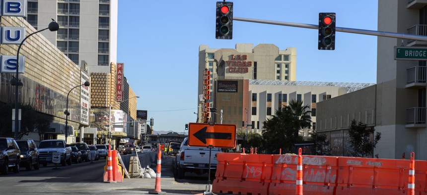
Las Vegas will be taking advantage of geospatial data and imagery to more efficiently manage its traffic and road operations.
The city recently awarded a contract to CycloMedia, a street-level visualization company, to help it manage above-ground municipal right-of-way assets, such as traffic lights and stop signs, across the city’s 135 square mile footprint.
The company captures high-resolution street-level imagery through terrestrial mobile LiDAR and categorizes asset features to a cloud-based inventory database, noting features such as location, type, condition, height and width depending on the specific asset, company officials said.
The data and insights will be available to all relevant city personnel and deployed through Cartegraph’s operational asset management software. An enterprise license agreement will allow the city to use the service for public works maintenance, planning and capital improvements.
Increasingly, cities and states are tapping automated image capture technology to gather data.
In Johnson County, Kansas, appraisers used CycloMedia vehicles outfitted with cameras and a LiDAR unit mounted on the roof to automatically capture imagery every 16 feet while driving the speed limit. Images were hosted in a secure Microsoft Azure cloud-based server and integrated with the county’s appraisal system, where analysts could see if changes had been made to a property that could affect its value.
Philadelphia worked with GoodRoads, which provides low-cost devices that attach magnetically to city vehicles and collect roadway images every half a second and analyze them for problems -- without deploying city roadway inspectors.
Pittsburgh partnered with Automotus to better manage its curb space. License plate-reading cameras and processing units were installed on streetlights in 20 short-term parking zones. Algorithmic models on the camera units analyzed in real time what vehicles – freight truck, delivery van or bicycle, for instance – were accessing the zone, how long they parked and whether they had to double park.
To promote tourism, the Parks and Recreation Department in Albuquerque, New Mexico, used the Google Street View Trekker -- a wearable backpack with a camera platform mounted on top – to gather imagery on remote trails that was then stitched together to create 360-degree panoramas in Google Maps.
Similarly, the Innovation Center in North Carolina’s IT Department mapped historical and cultural sites across the state using 360-degree cameras and the Google Street View Trekker. The resulting website, NC360, shows visitors 47 of the state’s most popular natural and cultural attractions.
NEXT STORY: Maryland to build weather data network


