Making Data on the Colorado River Basin’s Troubling Depletion More Accessible

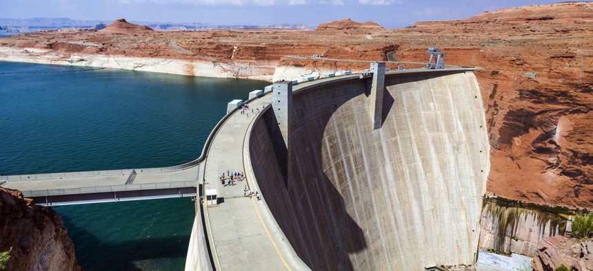
Glen Canyon Dam near Page, Arizona Jorg Hackemann / Shutterstock.com

Connecting state and local government leaders
Residents in Arizona, Nevada and Southern California should be paying the most attention to the Interior Department’s new, interactive drought tool.
The improving accessibility of open data is providing insights into the Colorado River basin’s 16-year drought, thanks to a recently launched, interactive digital tool from the U.S. Interior Department.
The “Drought in the Colorado River Basin” portal details the state of the watershed that supplies 1 in 10 Americans and 5.5 million acres of land with water, despite reservoirs at about 50 percent capacity.
The basin spans seven states and is one focus of the U.S. Geological Survey’s Open Water Data Initiative to quantify the use of national water resources.
“Projects like this one show the power of open data to help us better understand our resource challenges,” Interior Department Deputy Secretary Michael Conno said in a December announcement. “By enabling us to see the complex challenges in the Colorado River Basin visually, use of this website will help us devise timely actions to build resilience to the drought, spurring innovation along the way.”
Chief among the department’s concerns is the possibility that, if the drought persists, areas of Arizona, Nevada and Southern California that comprise the river’s Lower Basin could begin seeing reduced water deliveries in 2017.
Infographics showing major dams and canals that help to conserve water throughout the basin and how water use impacts storage appear throughout.

The Colorado River’s Lake Powell and Lake Mead reservoirs have become test sites for cutting-edge conservation strategies, and the tool’s interactive elements showing the decline in water storage levels create powerful visual illustrations of the drought’s effects.

The Interior Department hopes that expanded access to real-time data will spur the creation of Open Water Data Initiatives open source tools it can feature in a public “marketplace” of sorts.
Explore Drought in the Colorado River Basin: Insights Using Open Data here.
Dave Nyczepir is a News Editor at Government Executive’s Route Fifty.

NEXT STORY: 3-D scans from smartphones?


